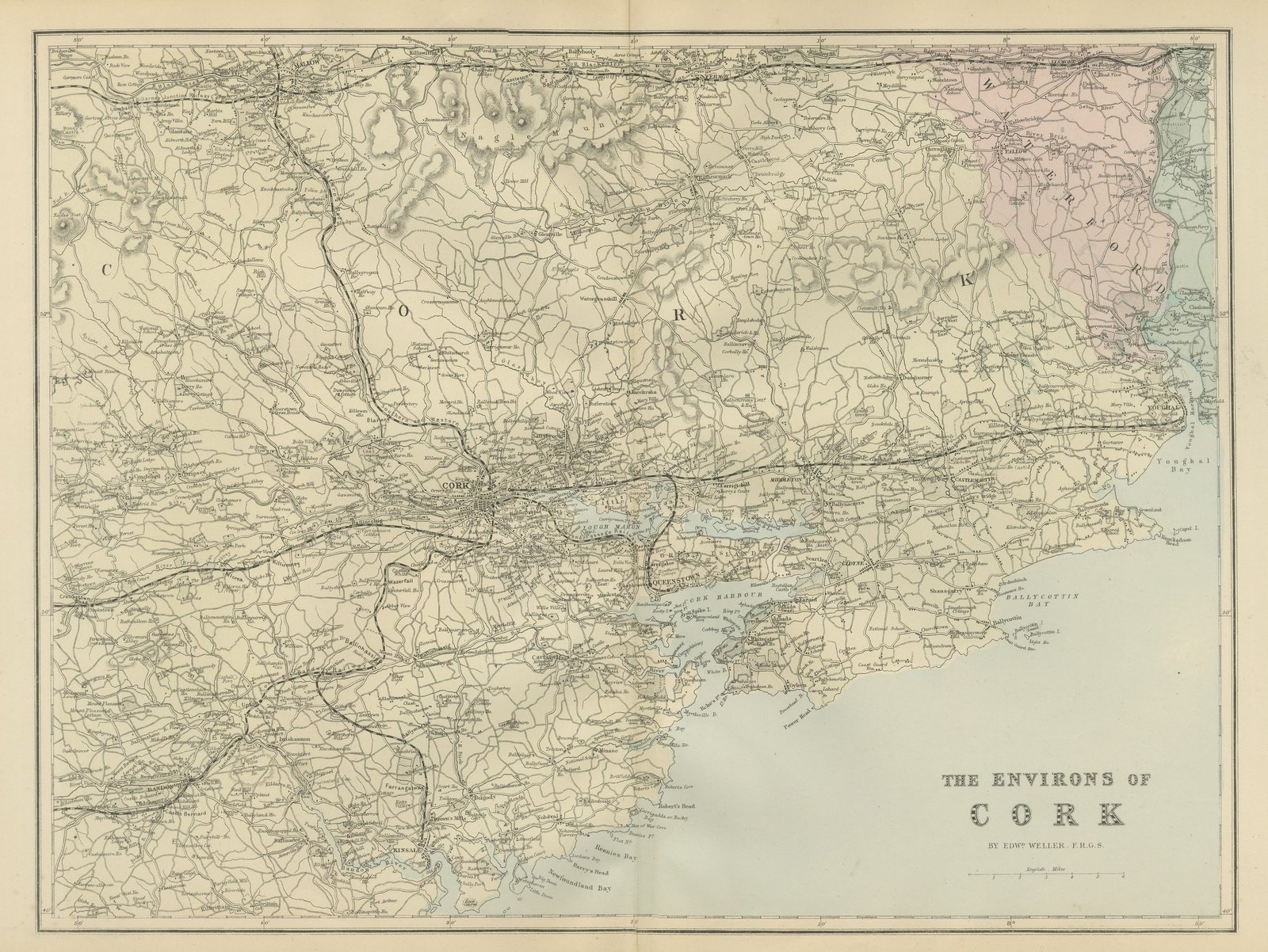
 The sheet, as you receive it
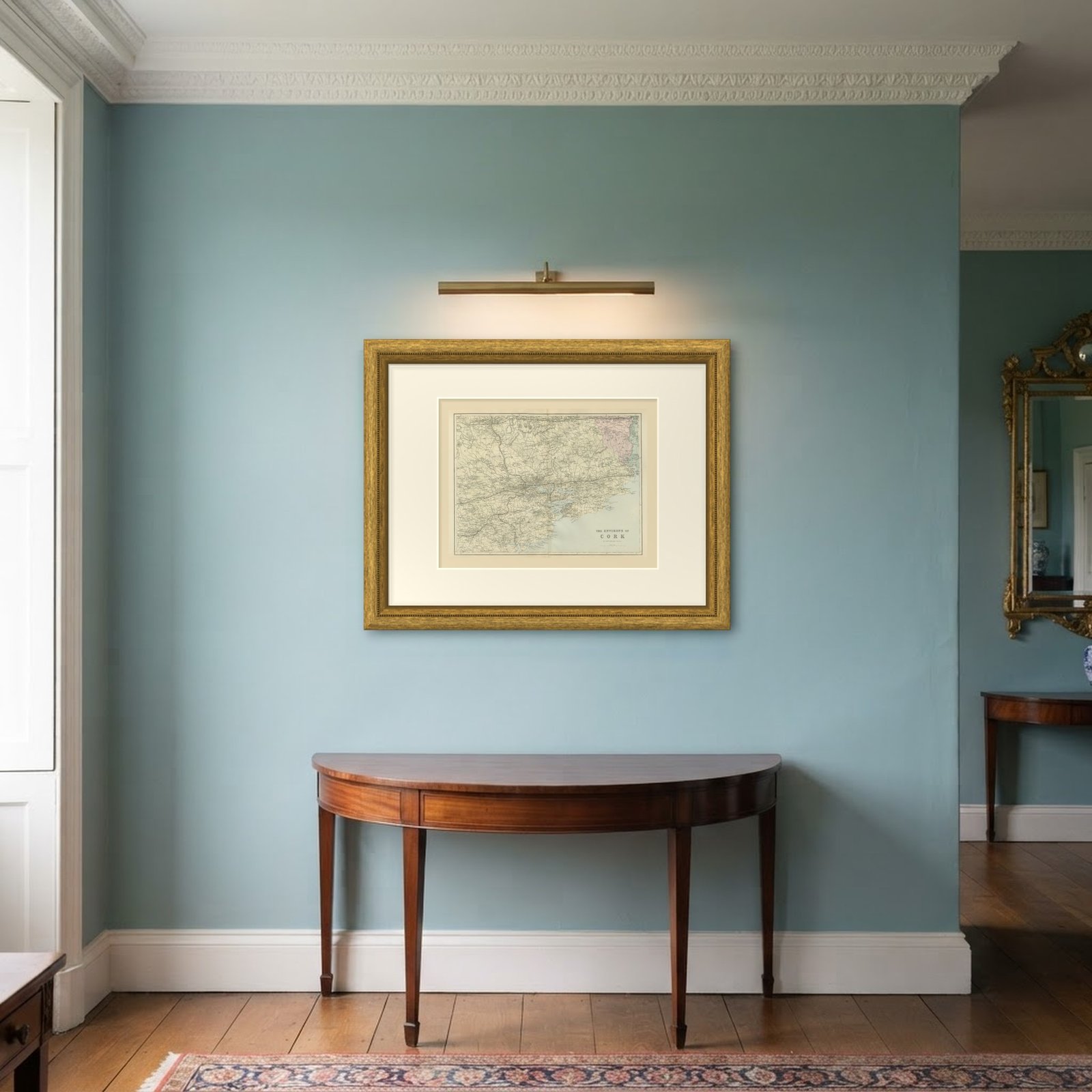 In the room
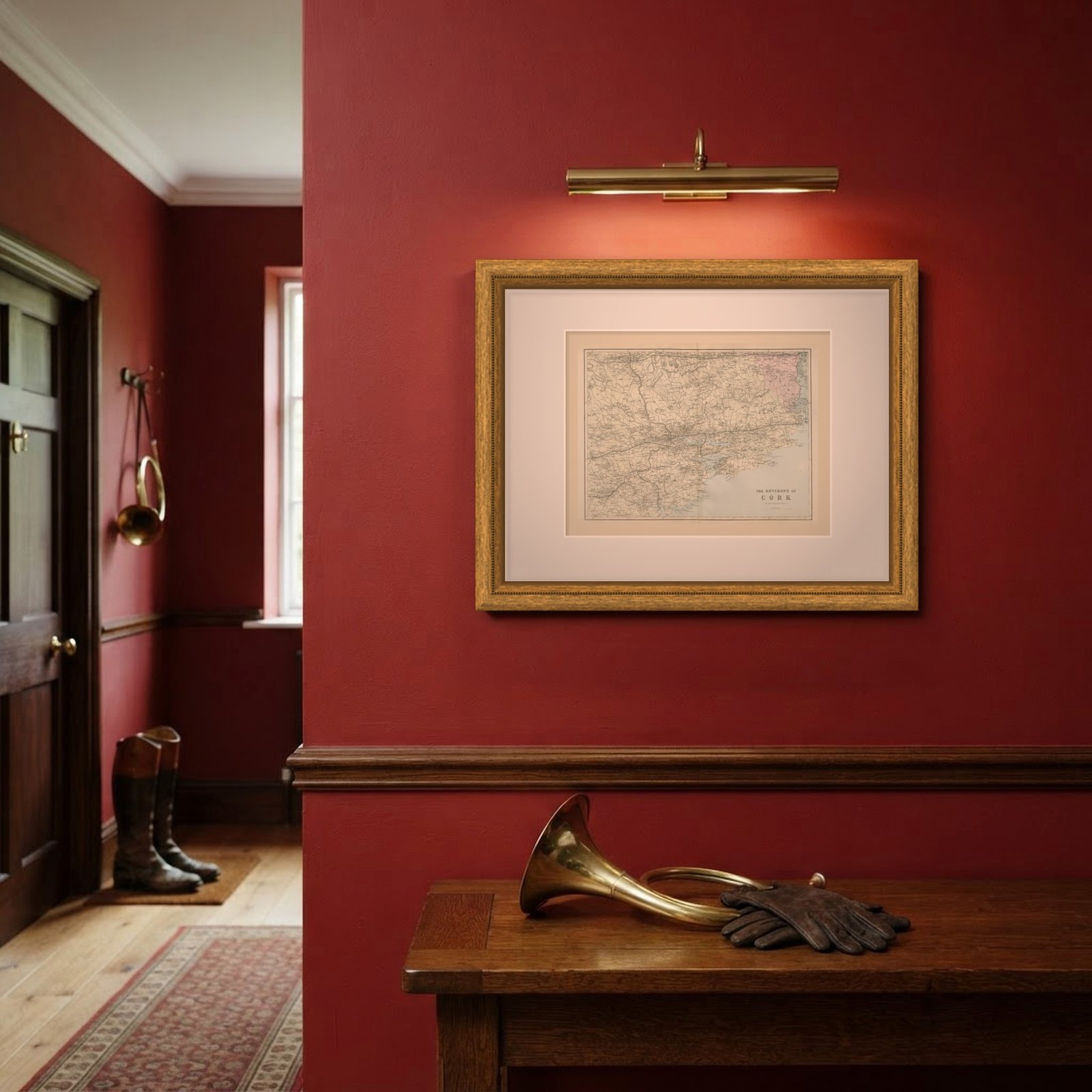
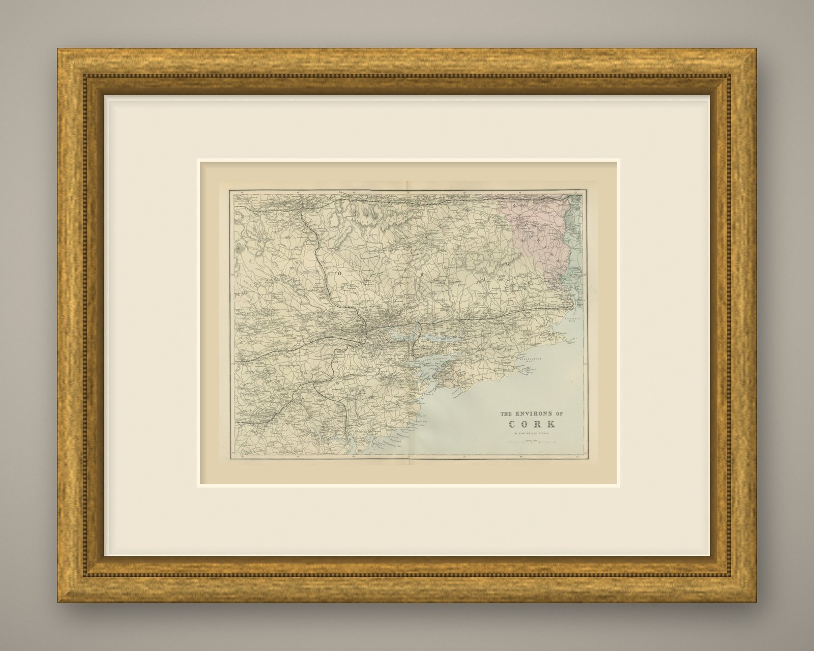
Interior designers: BarTrade members buy at their trade price. How it works
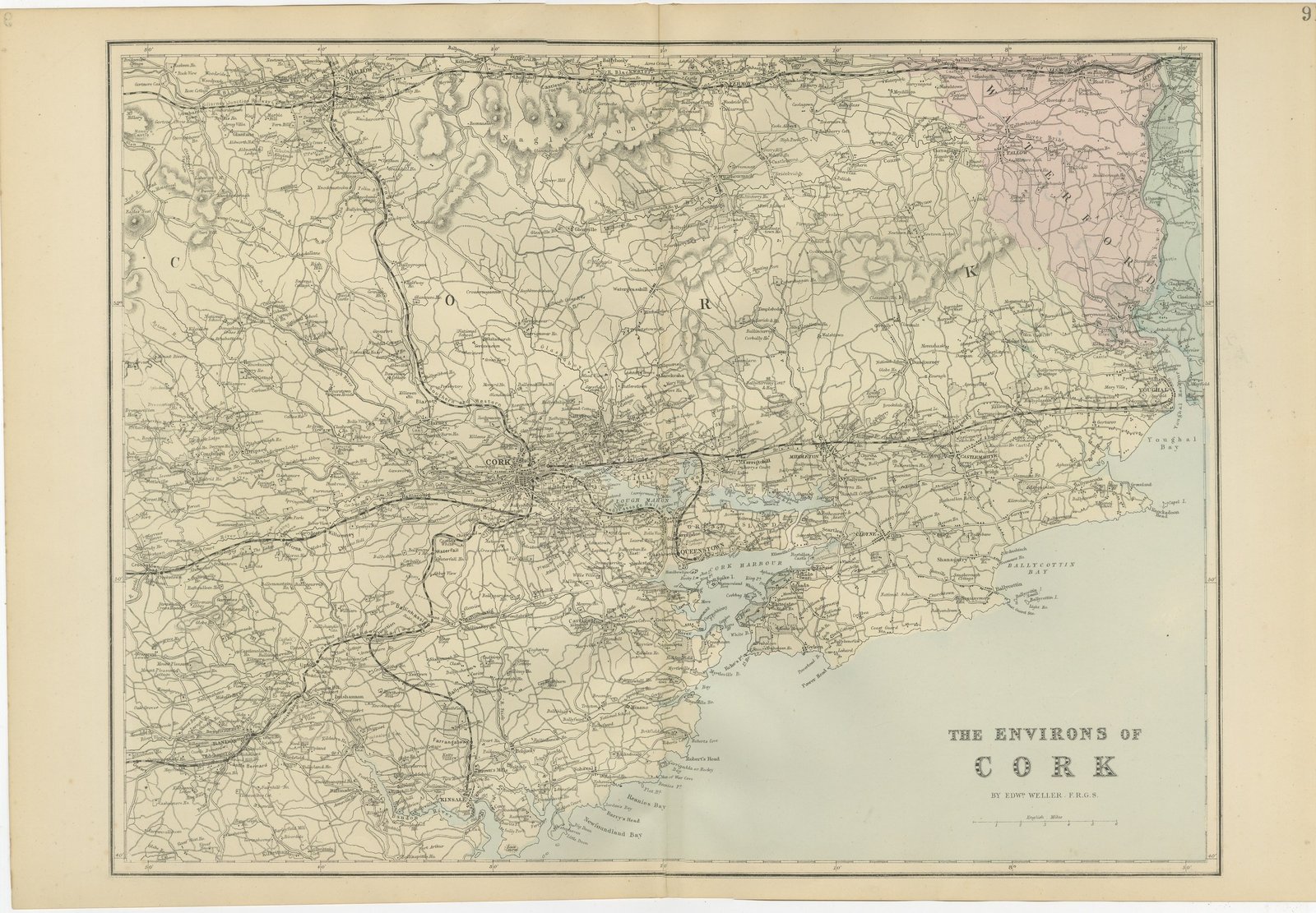
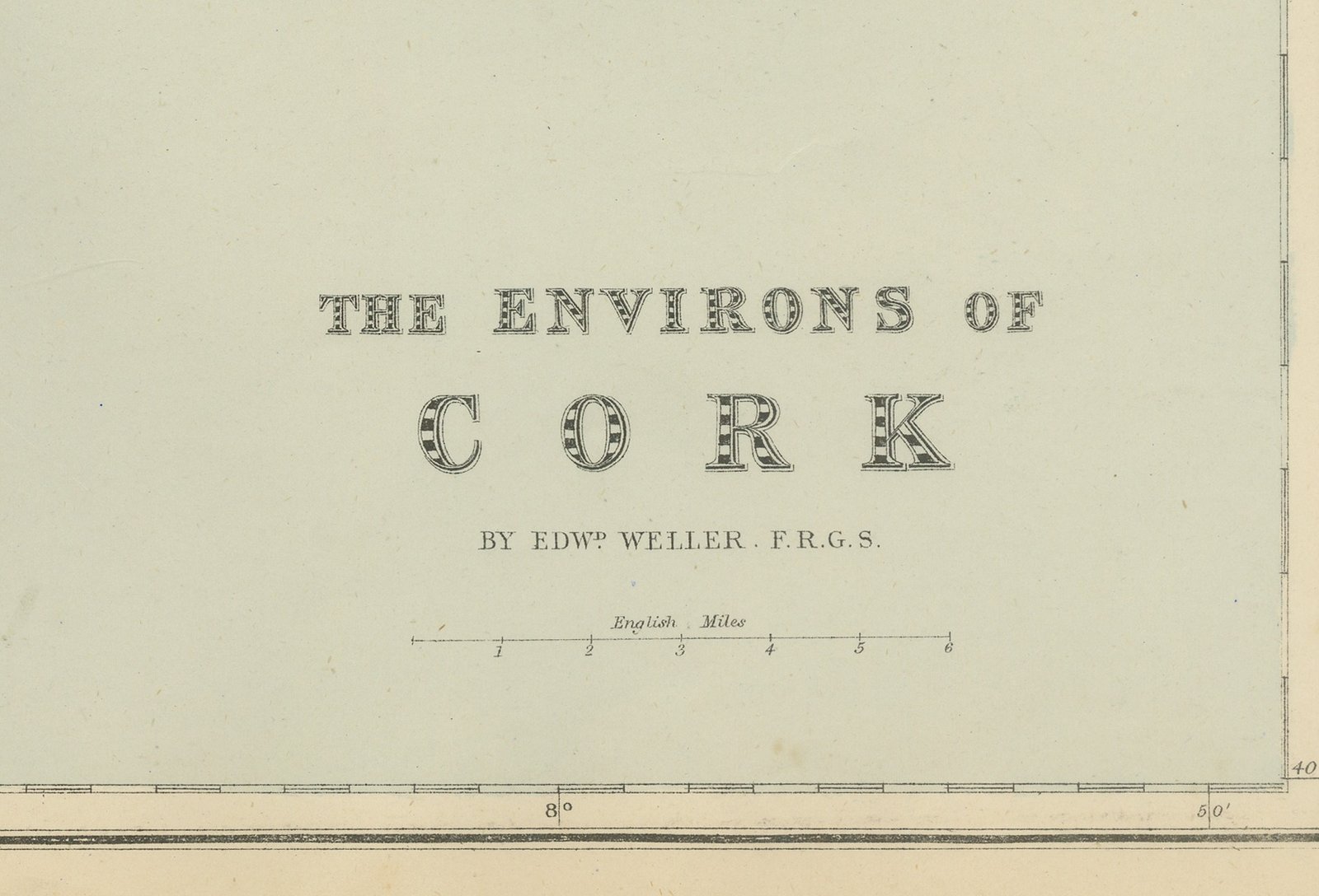
This is an original antique map of the country around Cork, printed by lithography with original hand coloring and dated 1885 by the atlas it comes from. The title in the lower right reads "THE ENVIRONS OF" over "CORK" and "BY EDWD WELLER. F.R.G.S.", with a scale of English Miles.
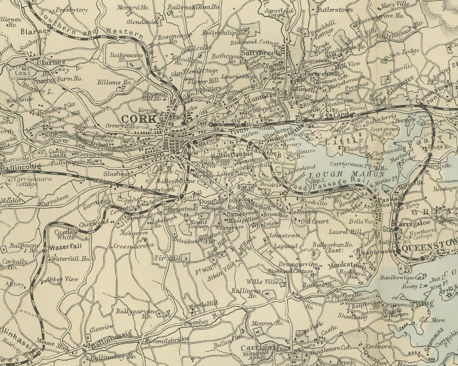
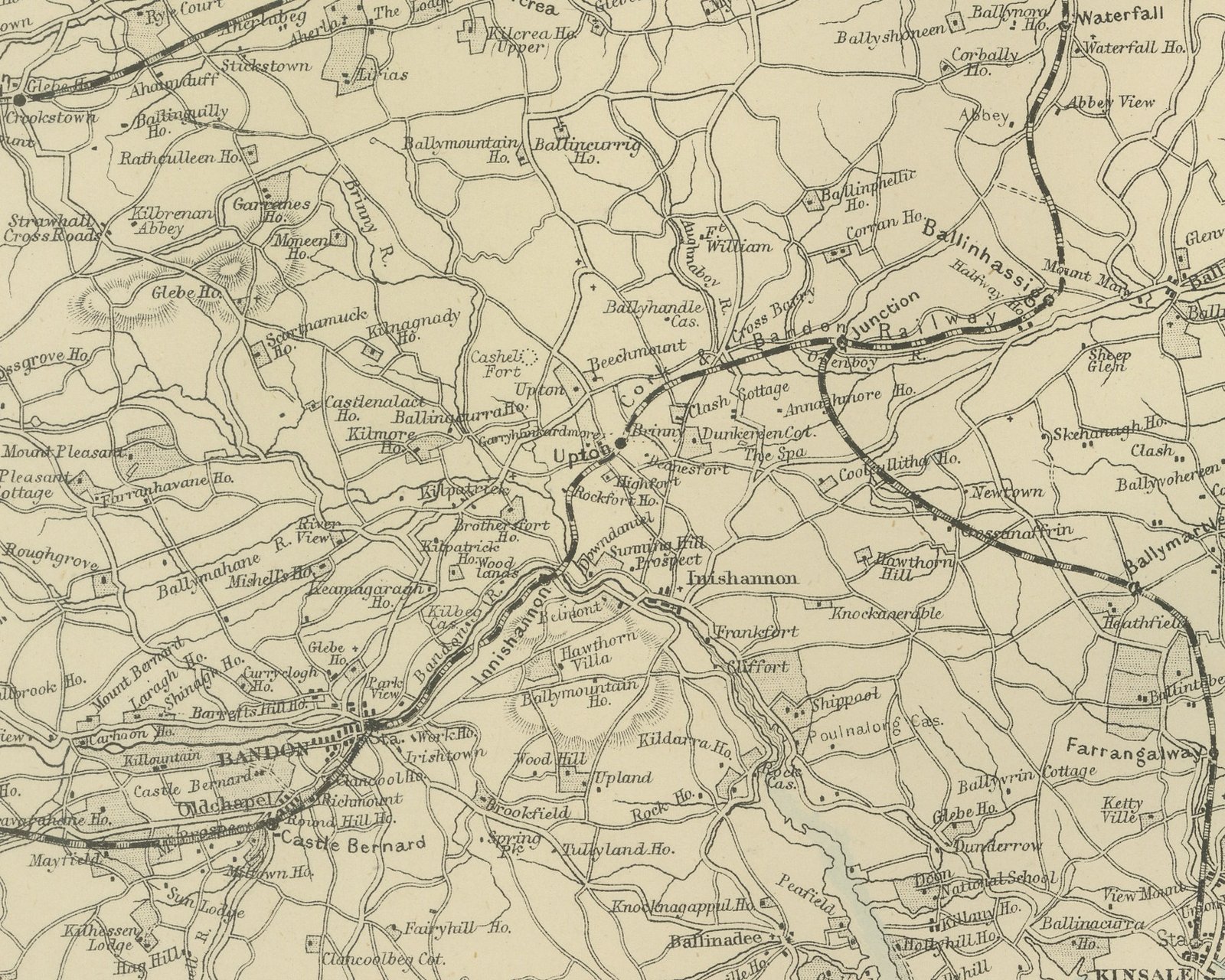
The city of Cork lies left of center on the River Lee, drawn in close street detail, with "CORK" lettered in large spaced capitals across the county. Below and to the right of the city, Lough Mahon, Great Island with Queenstown, and the anchorage lettered "CORK HARBOUR" are drawn in pale blue, with Spike Island near the harbor mouth. Mallow and the Nagle Mountains, modeled in hachure, lie along the top. Bandon and Kinsale sit at the lower left near the coast of Newfoundland Bay. To the east the sheet reaches Middleton, Castlemartyr, Ballycotton Bay, and Youghal on Youghal Bay, and the corner of County Waterford at the upper right, with Lismore and Tallow, is washed by hand in pale rose. Railways run north to Mallow, west to Bandon and east toward Youghal, and the border is marked in degrees and minutes.
The sheet number at the upper right is cut by the trimmed edge.
It comes from The New Large Scale Ordnance Atlas of the British Isles, published in London by G. W. Bacon and Co., and is dated 1885 by the volume it was taken from; no date is printed on the sheet itself. Edward Weller (1819 to 1884) was a London map engraver and draftsman and a Fellow of the Royal Geographical Society.
Vertical fold down the center from binding. Even age toning. Handling soiling along all four edges. A few small foxing spots in the margin. Slight wear at the bottom left, bottom right and top left corners.
This is an original antique map, not a modern reproduction. This item is sold unframed.