 The sheet, as you receive it
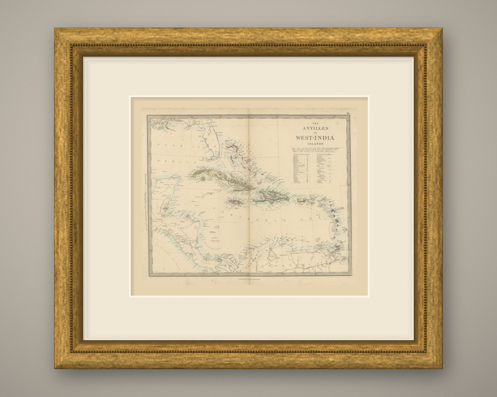
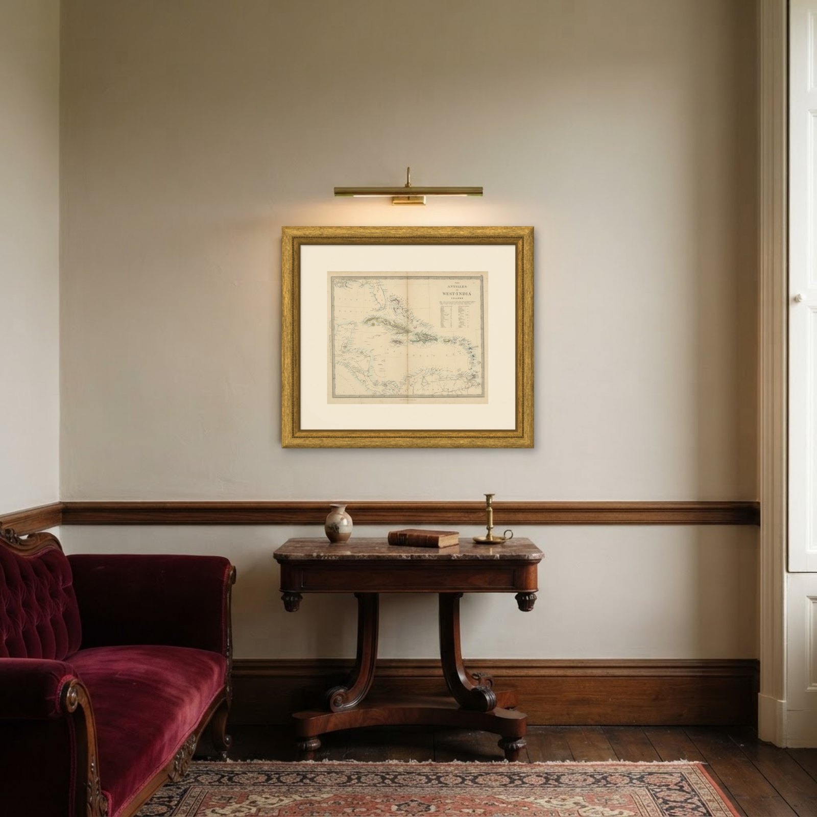 In the room
Interior designers: BarTrade members buy at their trade price. How it works
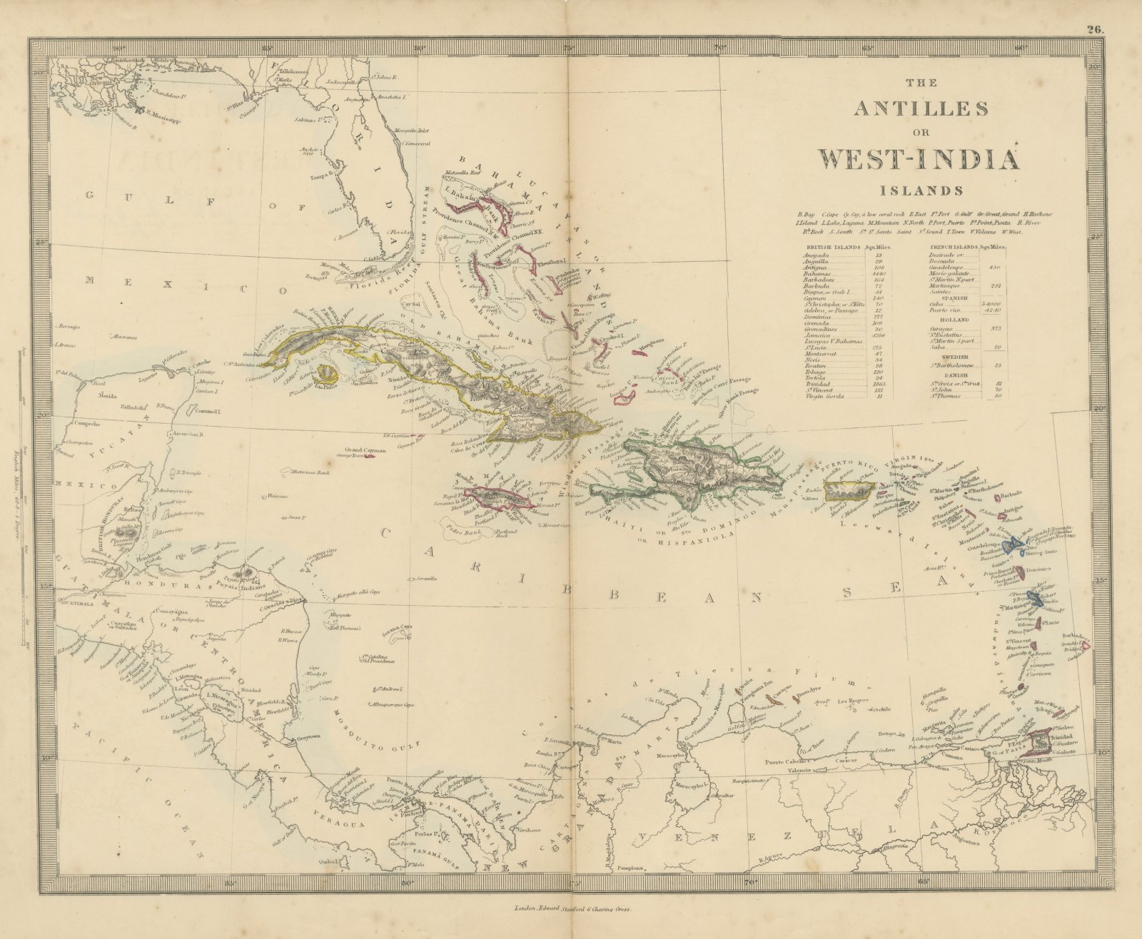
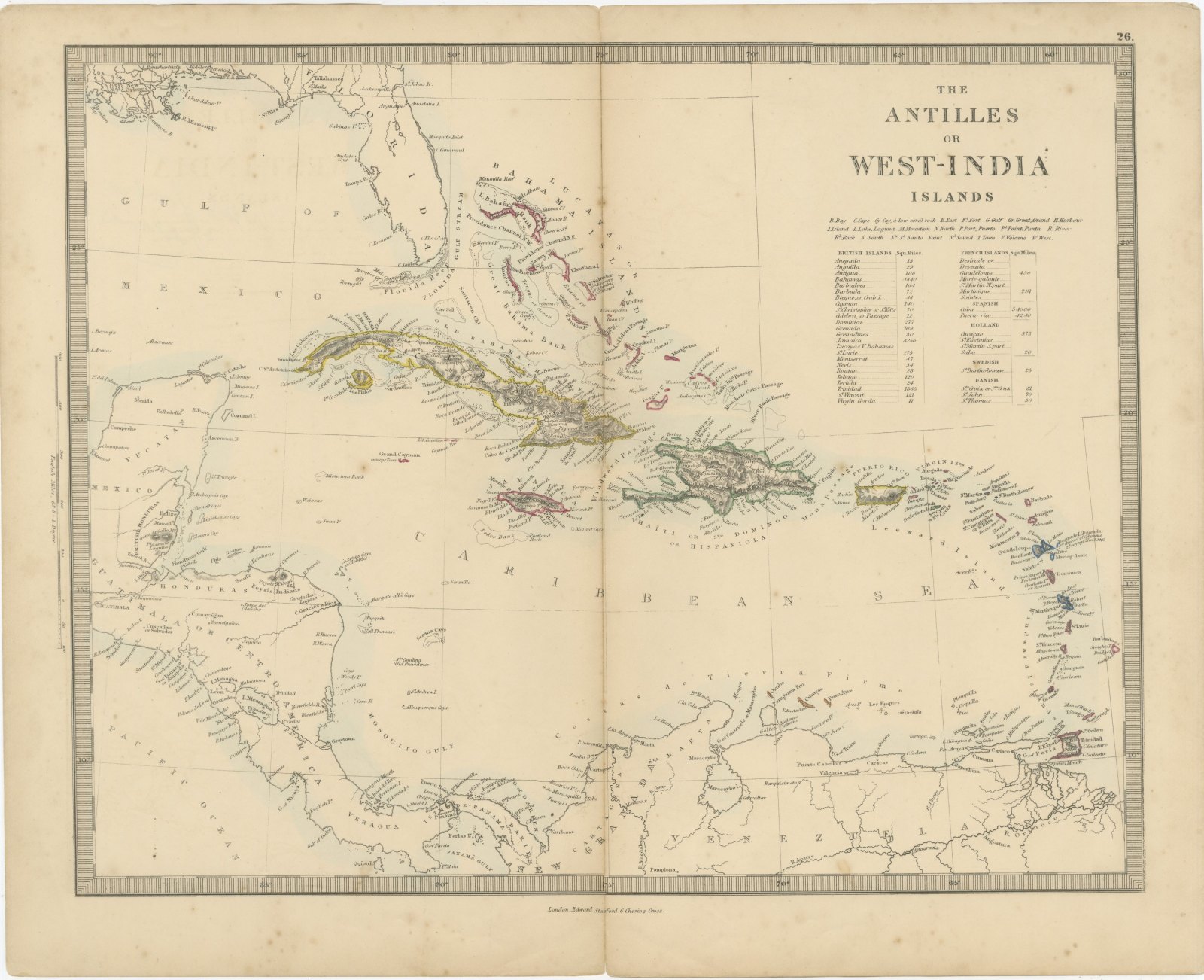
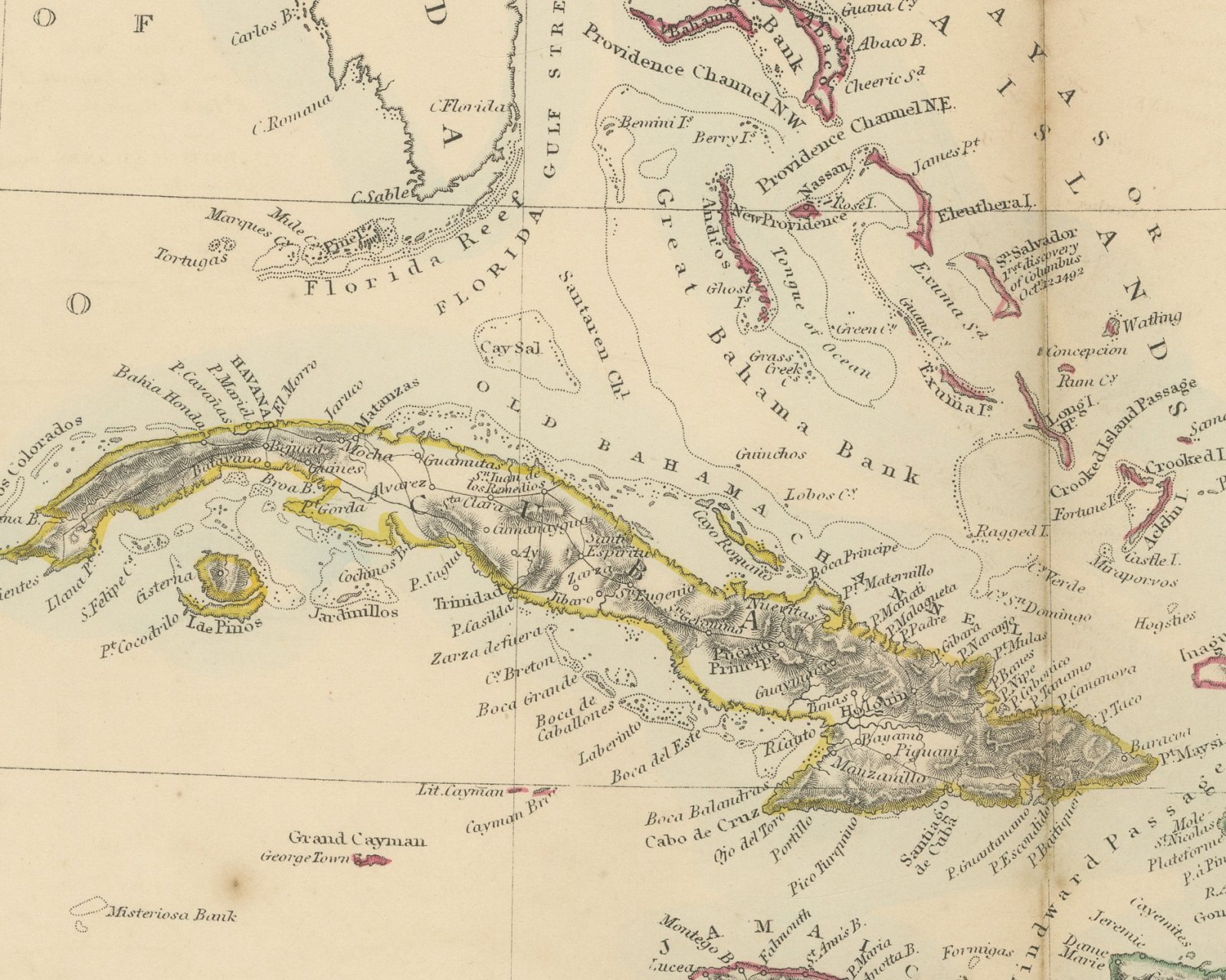
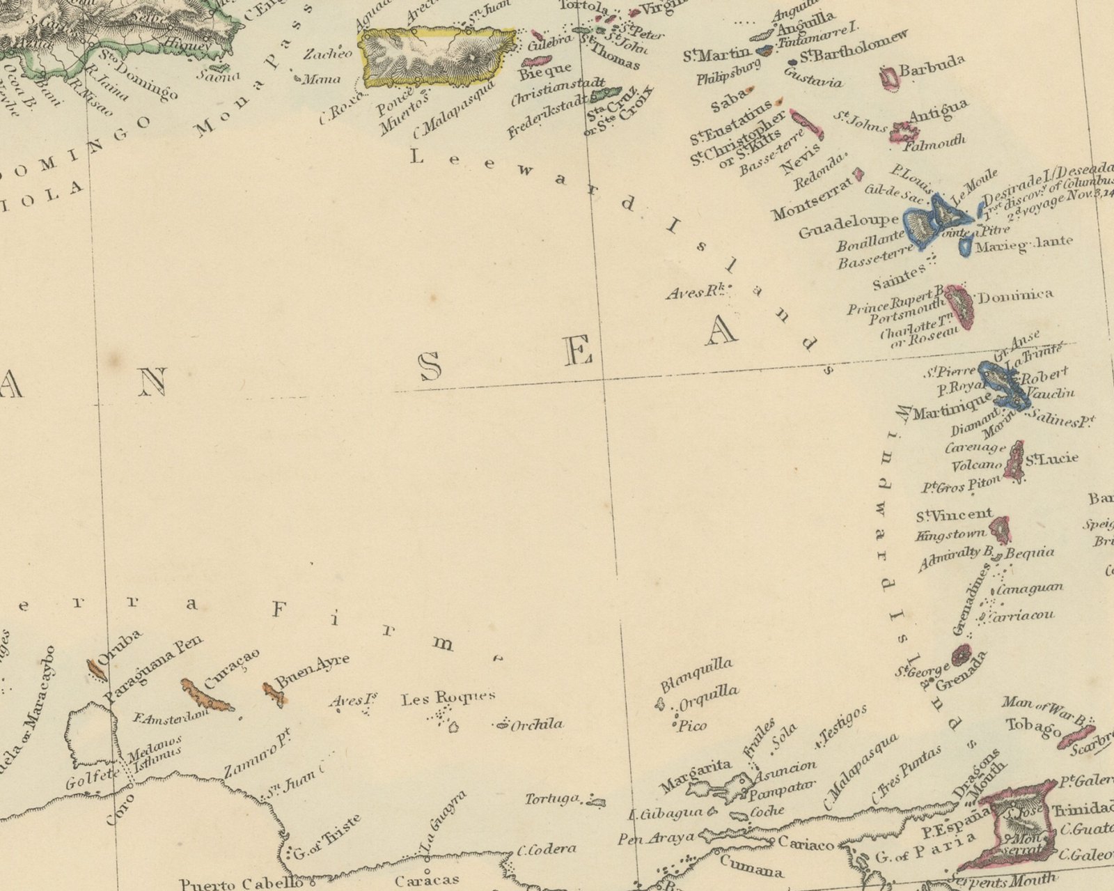
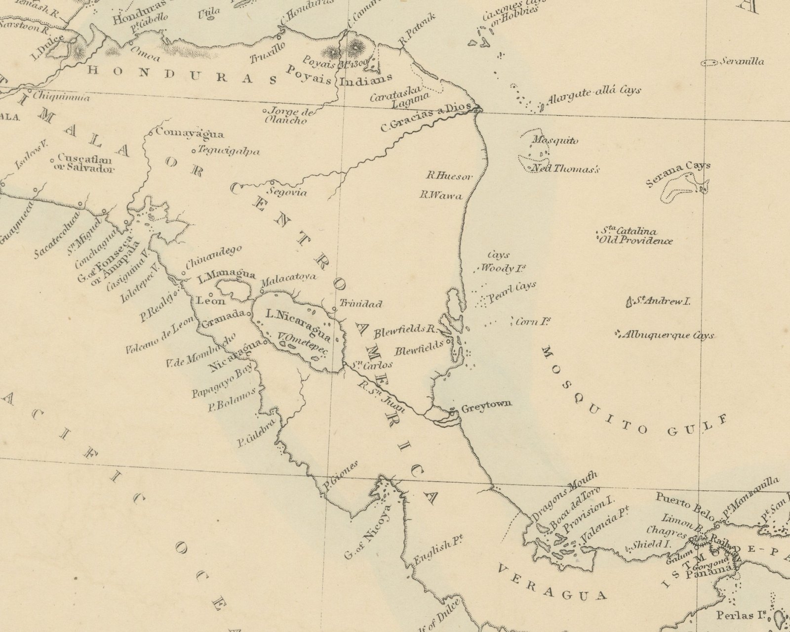
Original antique map of the Caribbean, a steel engraving colored by hand, with the lettered title "THE ANTILLES OR WEST-INDIA ISLANDS". The map extends from Florida and the Gulf of Mexico to Yucatán and Central America, and east through the Bahamas, Cuba, Jamaica, Haiti or Santo Domingo, Puerto Rico and the Leeward and Windward Islands to Barbados, Trinidad and Tobago. The coasts of Panama, Nueva Granada and Venezuela close the map to the south. The islands are colored in outline according to the power that held them, yellow for Cuba and Puerto Rico, pink for the British islands and blue for the French, with a pale blue wash along the coasts.
Below the title is a key of abbreviations that gives Spanish equivalents, such as "P. Port, Puerto" and "Pt. Point, Punta", and a table of island areas under the headings "BRITISH ISLANDS Squ. Miles." and "FRENCH ISLANDS Squ. Miles.", followed by "SPANISH", "HOLLAND", "SWEDISH" and "DANISH". On the map, St. Salvador in the Bahamas is lettered as the first discovery of Columbus, October 12, 1492, and Desirade as his first discovery on the second voyage, November 3, 1493. A scale reads "English Miles, 68.8 = 1 Degree." Below the border is the imprint "London, Edward Stanford 6 Charing Cross.", and the plate number "26." is above the upper right corner.
The Harrow Atlas of Modern Geography was published in London by Edward Stanford in 1858 and sold at Harrow by Crossley and Clarke, booksellers to Harrow School. Its maps were selected from those of the Society for the Diffusion of Useful Knowledge, founded in London in 1826, which issued its maps in parts from 1829 and was wound up in 1848; Stanford later issued them under his own imprint, as this sheet shows. The table on this sheet divides the islands among British, French, Spanish, Dutch, Swedish and Danish holders, with Cuba and Puerto Rico still listed under Spain.
This is an original antique map, not a modern reproduction. This item is sold unframed.