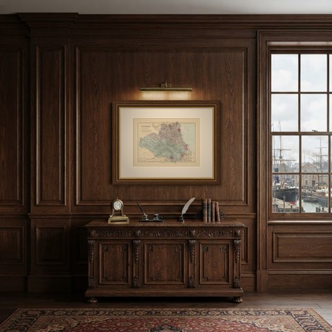
 The sheet, as you receive it
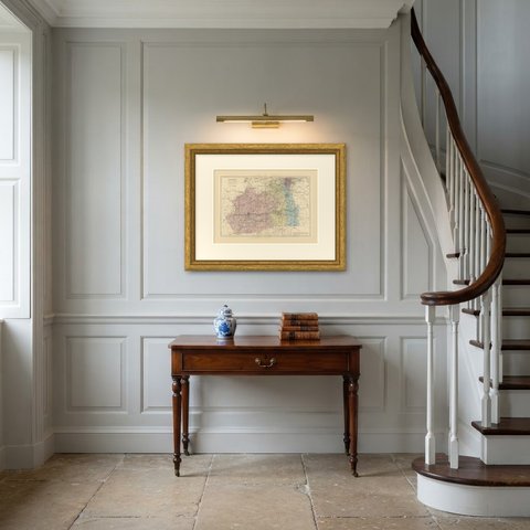
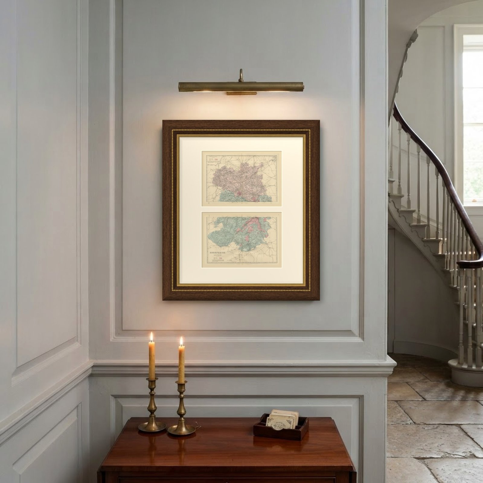
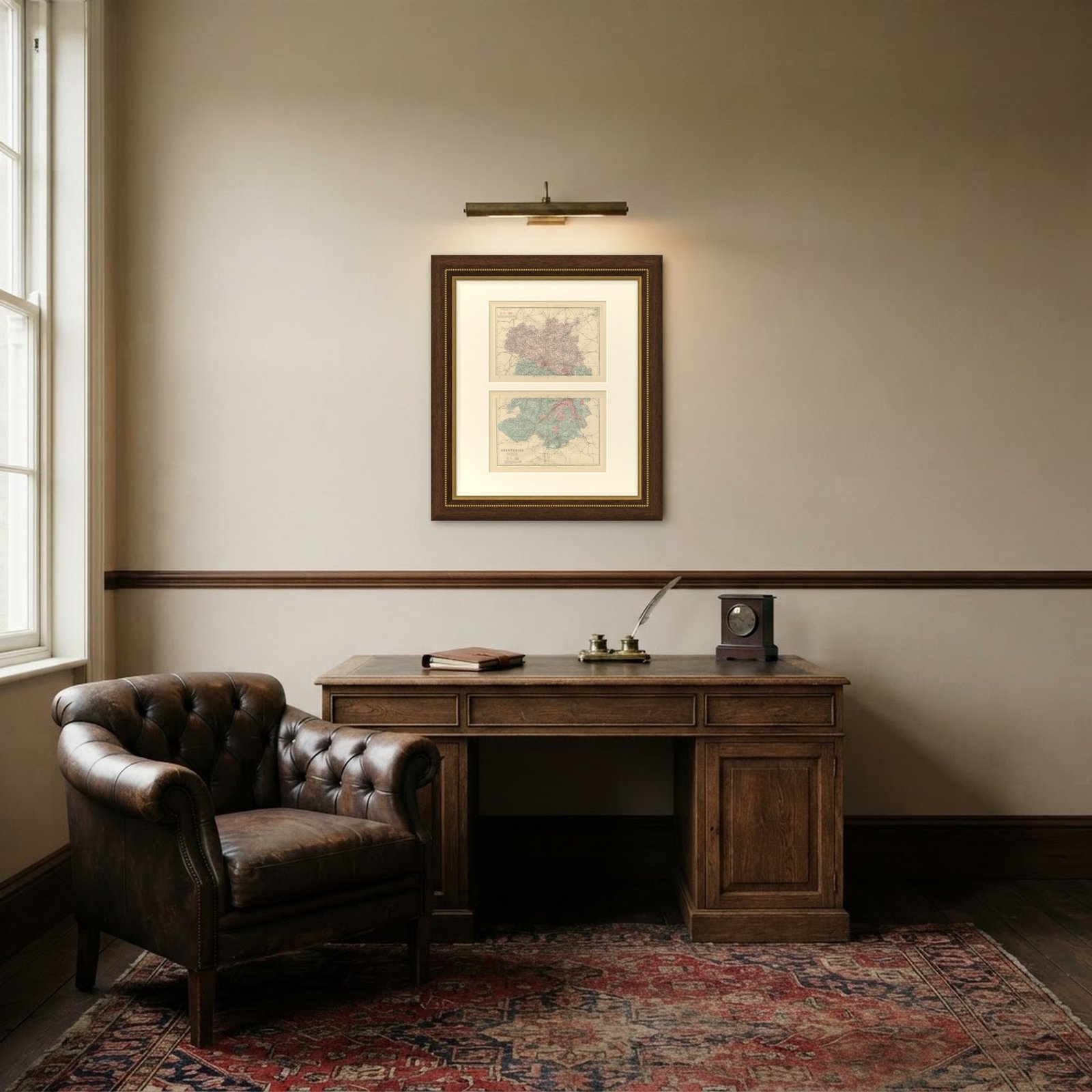 In the room
Interior designers: BarTrade members buy at their trade price. How it works
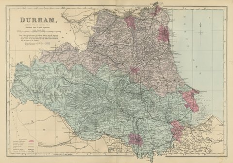
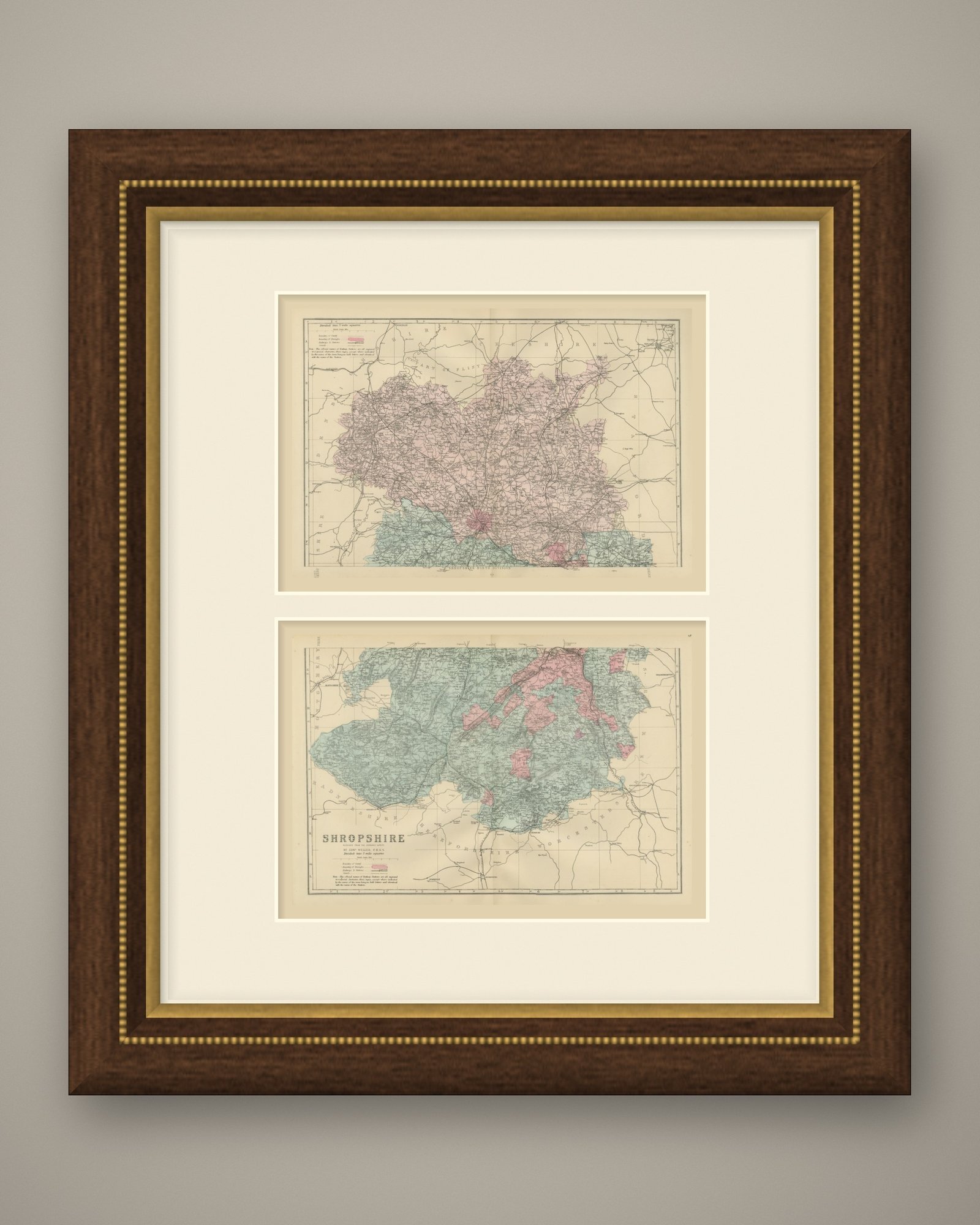
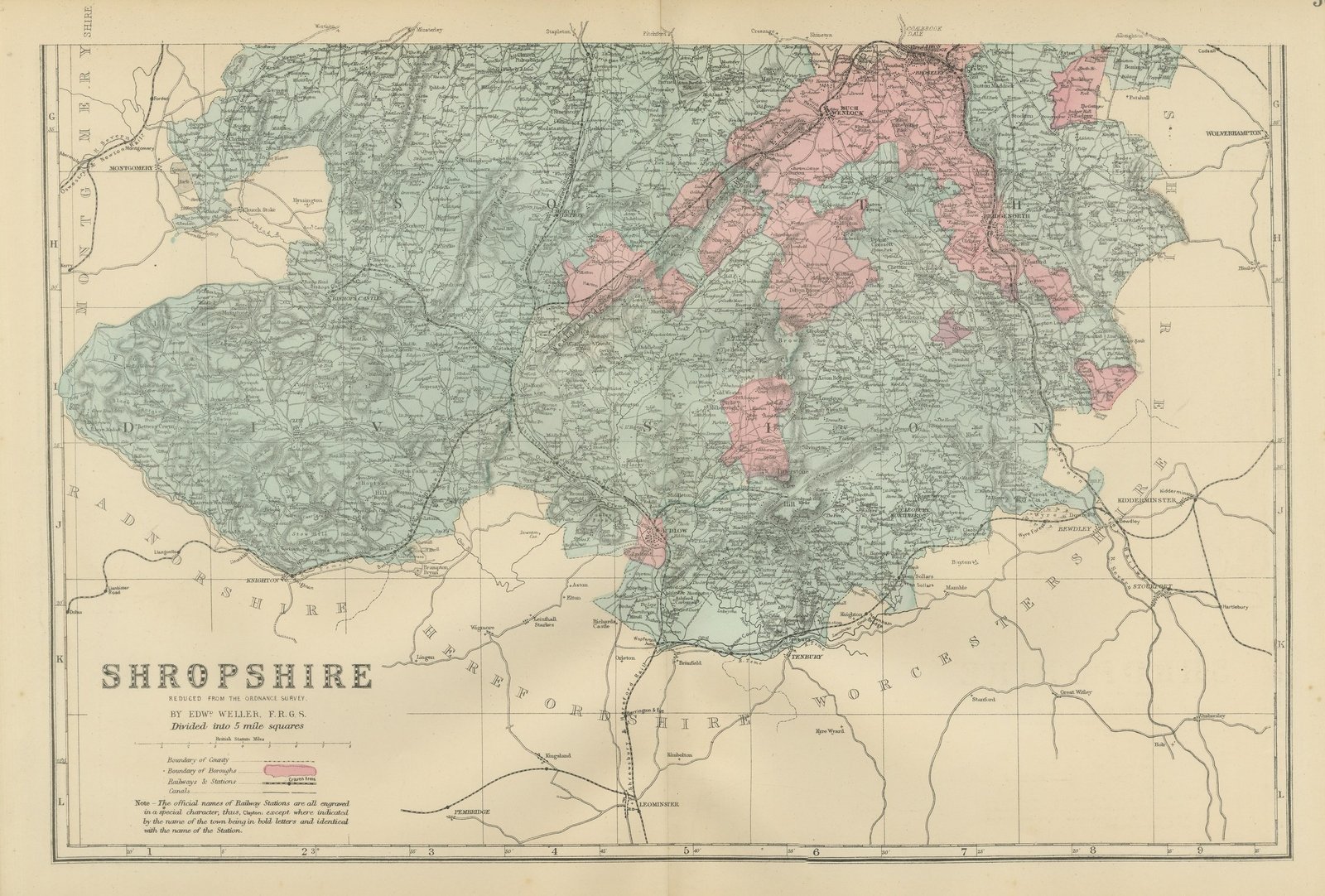
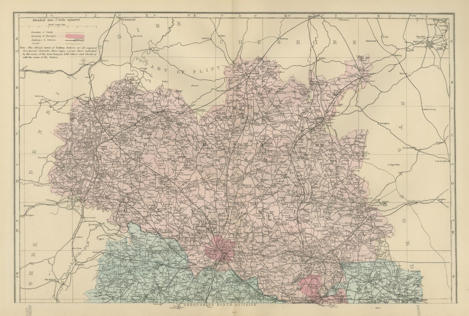
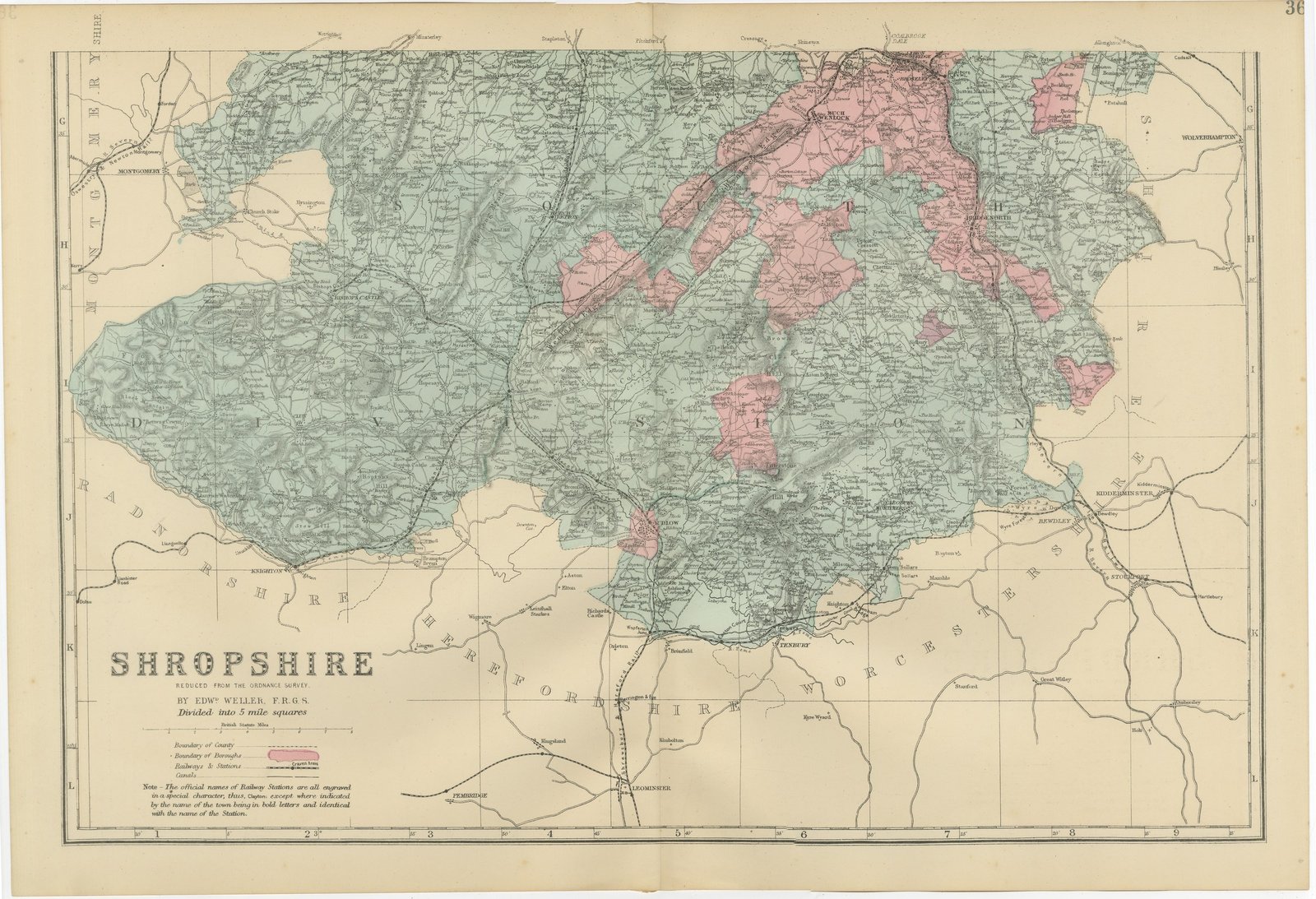
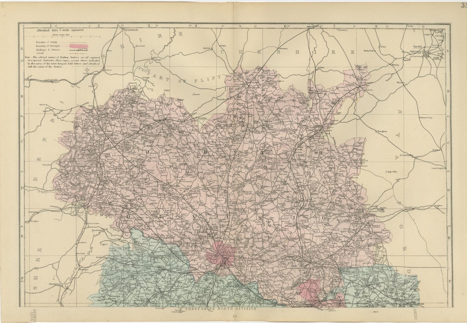
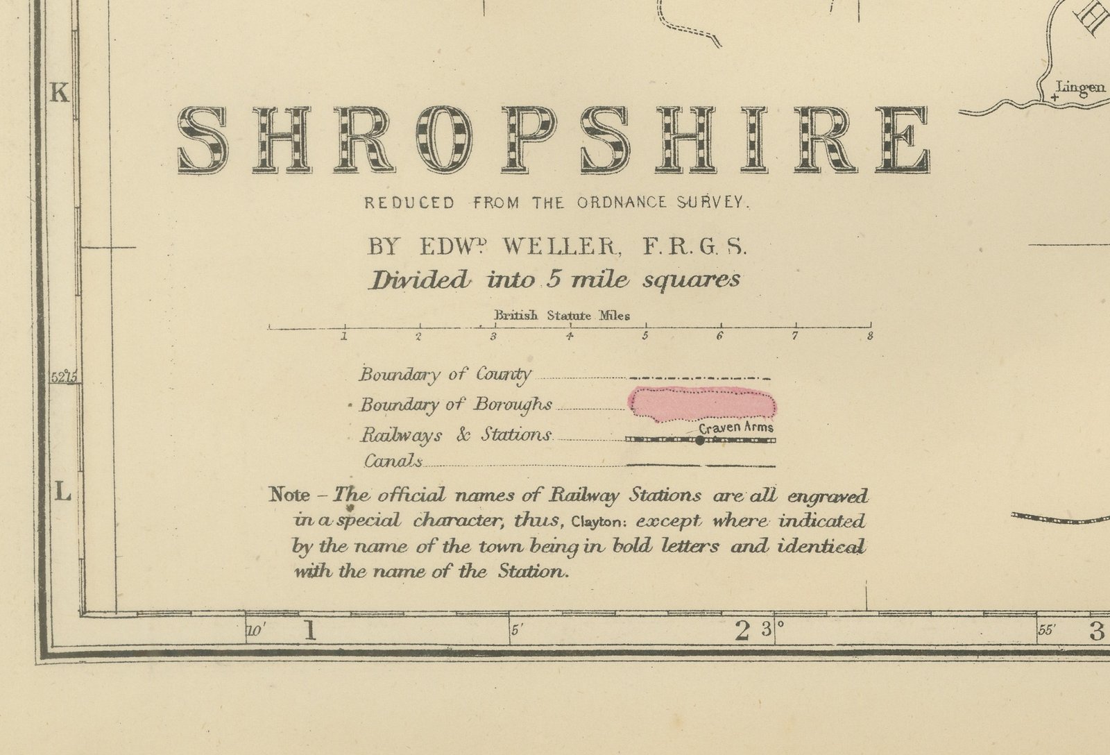
This is an original antique map of Shropshire on two sheets, printed by lithography with original hand coloring and dated 1885 by the atlas they come from. The county was drawn in two halves that meet along the grid: the north sheet covers rows A to F and the south sheet rows G to L, so the two together make the complete county as the atlas printed it. The title on the south sheet reads "SHROPSHIRE", followed by "REDUCED FROM THE ORDNANCE SURVEY.", "BY EDWD WELLER, F.R.G.S." and "Divided into 5 mile squares".
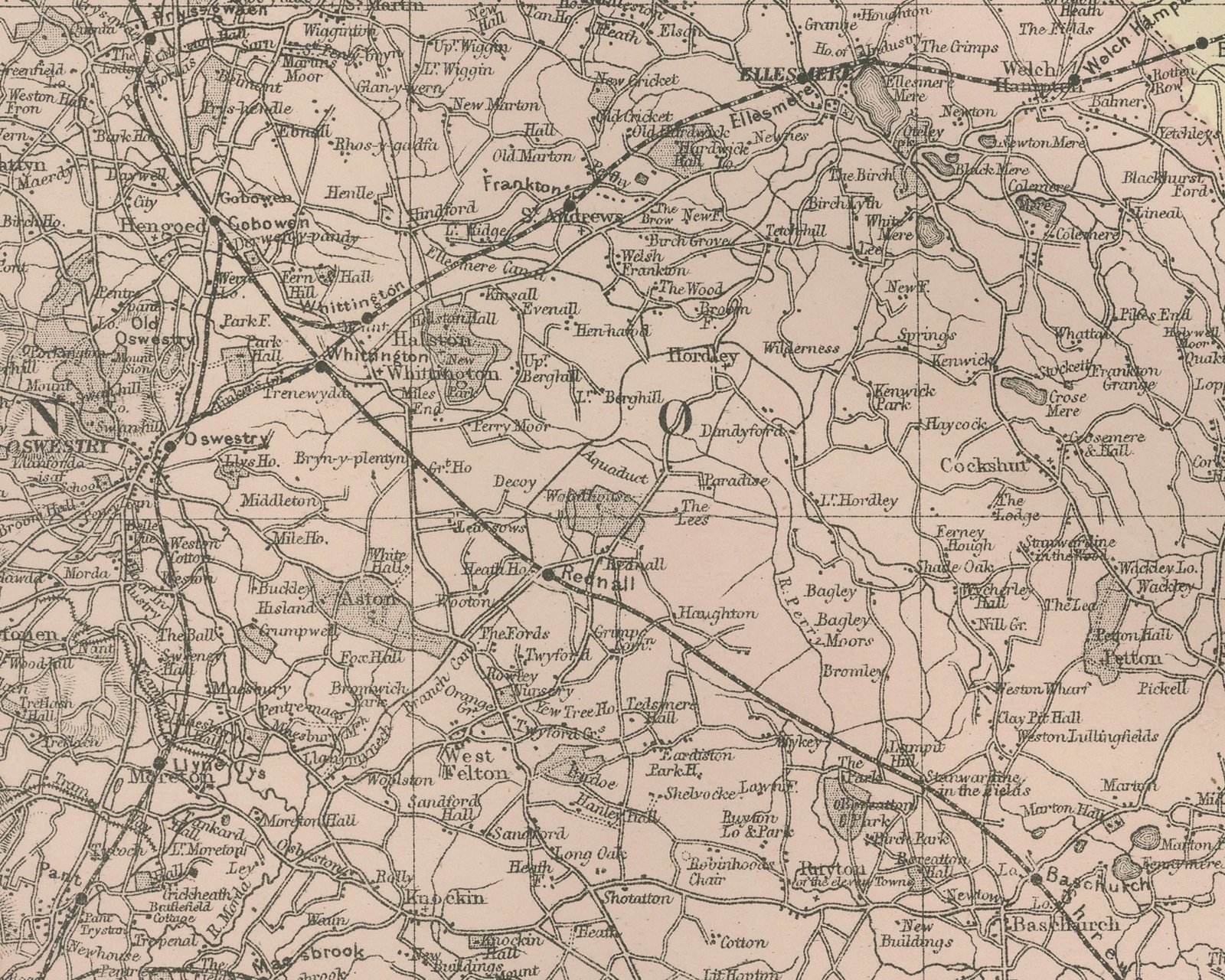
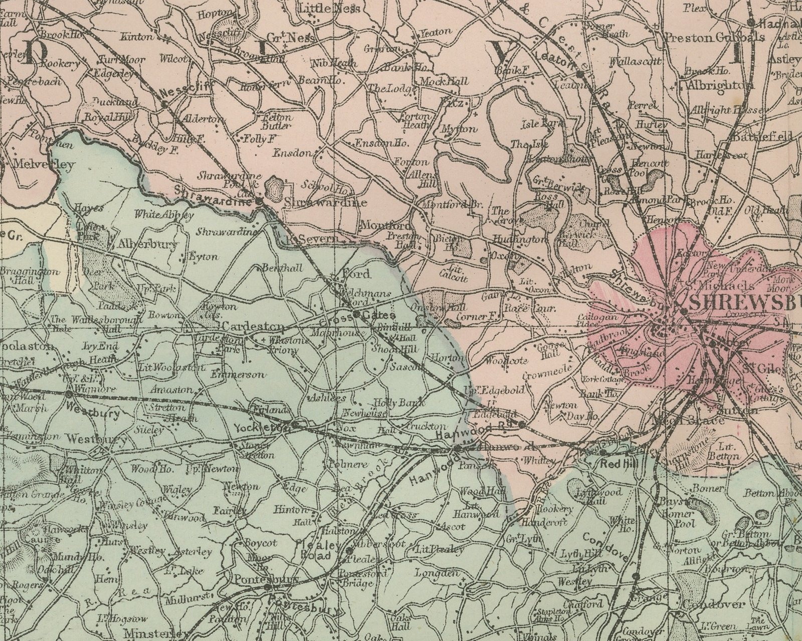
The north sheet is lettered "SHROPSHIRE NORTH DIVISION" in its lower margin and carries its own key at the upper left, with a scale of British Statute Miles and entries for county and borough boundaries, railways and stations, and canals. The division is washed by hand in rose, with Shrewsbury at the foot of the sheet carrying a crimson borough wash; at the lower right the crimson of the Wenlock borough reaches up around Coalbrookdale and Madeley. Oswestry, Ellesmere, Whitchurch, Market Drayton, Hodnet and Newport are lettered, and the green of the southern division begins along the lower edge.
Around the north sheet, Wrexham and Ruabon lie at the upper left in Denbighshire, with Llangollen and Chirk, and "PART OF FLINT" is lettered across the upper part of the sheet. Cheshire runs along the top with Nantwich and Malpas, Newcastle under Lyme and the pottery towns sit in the upper right corner, Staffordshire is lettered down the right with Eccleshall, and Montgomeryshire is on the lower left with Welshpool. Canals are drawn beside the railways.
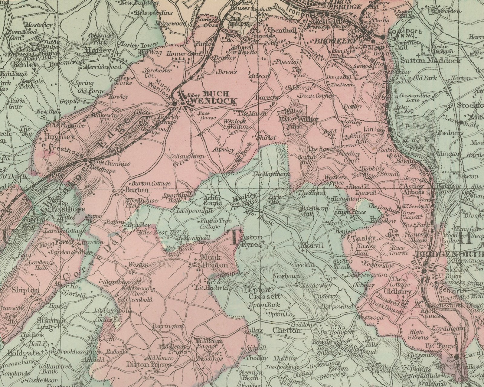
The south sheet is washed in pale green, with crimson borough washes covering Much Wenlock and the Coalbrookdale and Ironbridge district, Bridgnorth on the Severn, and Ludlow. Wenlock Edge runs across the sheet in a long ridge of hachure, Brown Clee Hill and Clee Hill rise to the east of it, and Church Stretton, Bishops Castle, Clun, Craven Arms and Cleobury Mortimer are lettered. Montgomeryshire and Radnorshire are named on the left, Herefordshire and Worcestershire along the foot, and Staffordshire with Wolverhampton at the upper right. Kidderminster, Bewdley and the Wyre Forest lie on the right, Knighton on the southwestern border, and Tenbury and Leominster toward the foot.
The title block sits in the lower left of the south sheet with a scale of British Statute Miles and the same key. A printed note explains that "The official names of Railway Stations are all engraved in a special character, thus, Clayton; except where indicated by the name of the town being in bold letters and identical with the name of the Station." The note appears on both sheets. The sheet numbers "35" and "36" are printed at the upper right of the north and south sheets.
Both sheets come from The New Large Scale Ordnance Atlas of the British Isles, published in London by G. W. Bacon and Co., and are dated 1885 by the volume they were taken from; no date is printed on either sheet. Edward Weller (1819 to 1884) was a London map engraver and draftsman and a Fellow of the Royal Geographical Society.