 The sheet, as you receive it
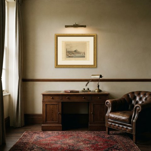
 In the room
Interior designers: BarTrade members buy at their trade price. How it works
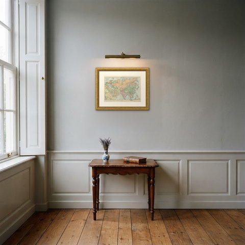
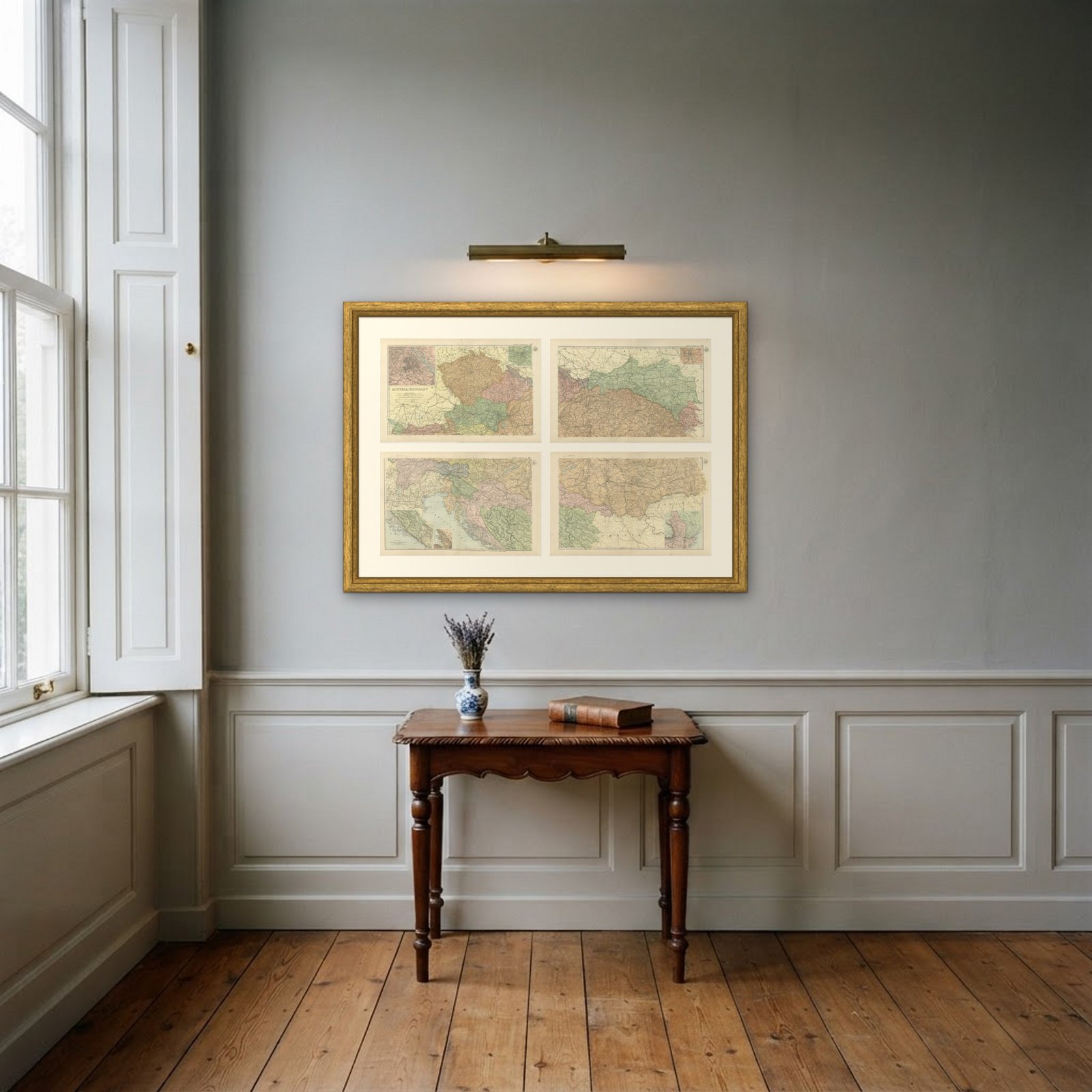
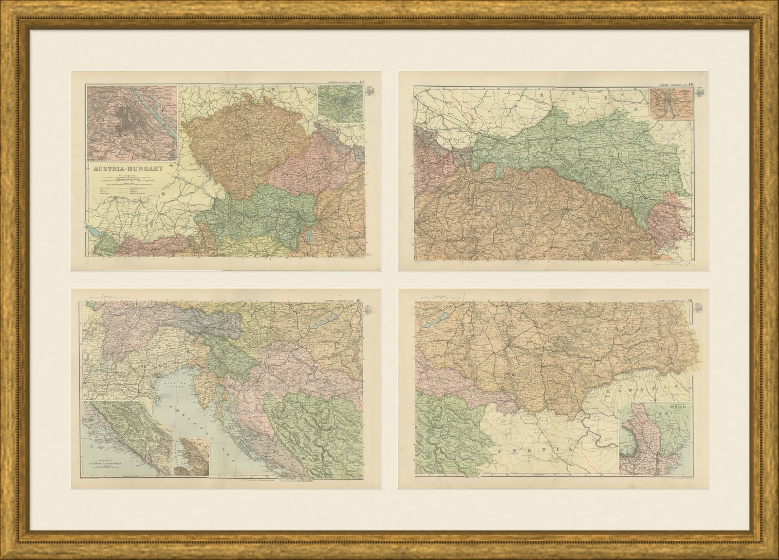
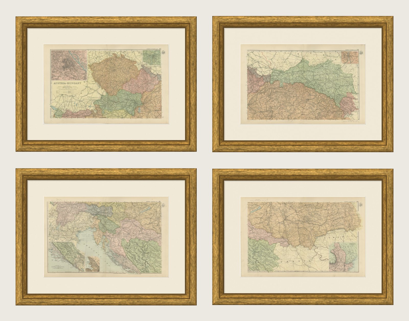
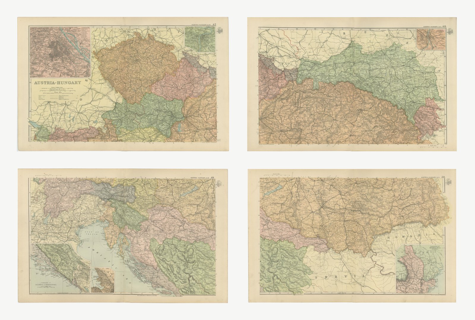
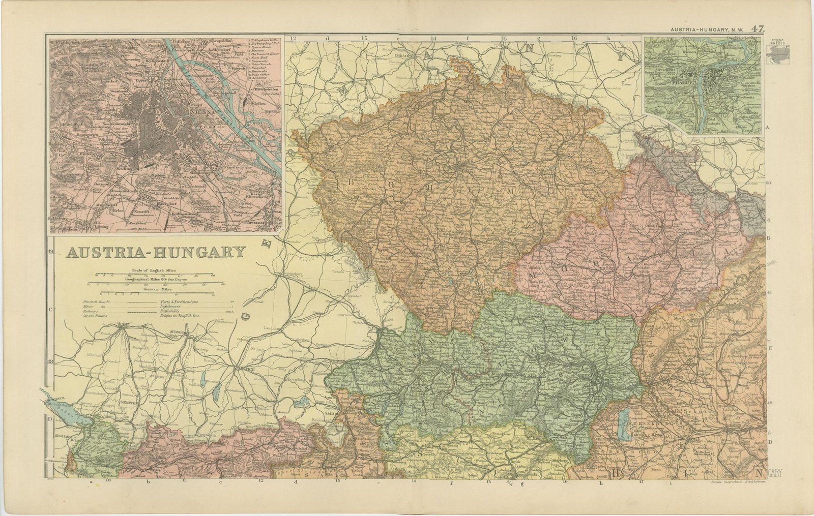
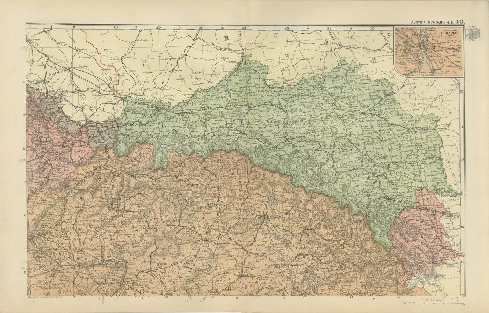
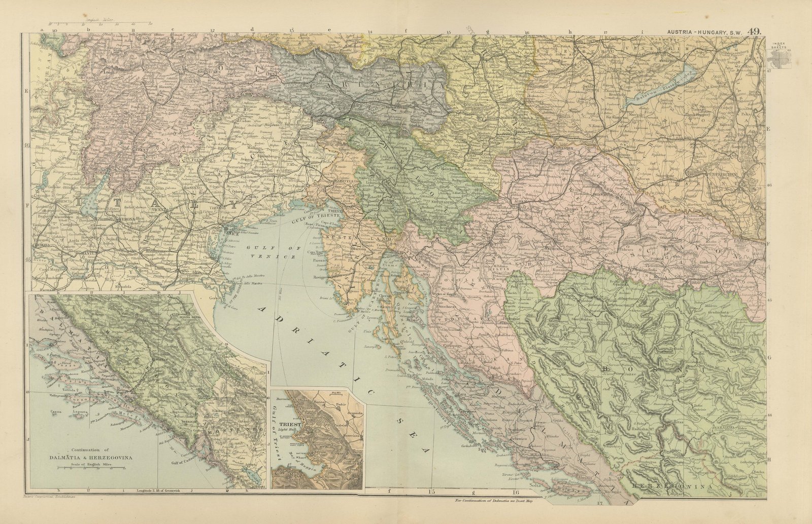
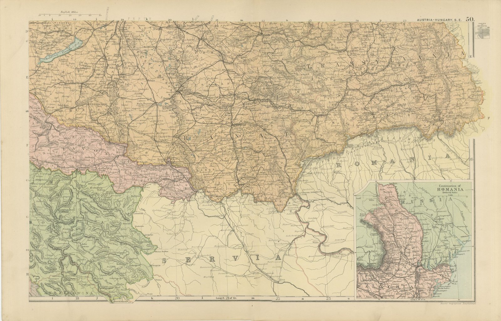
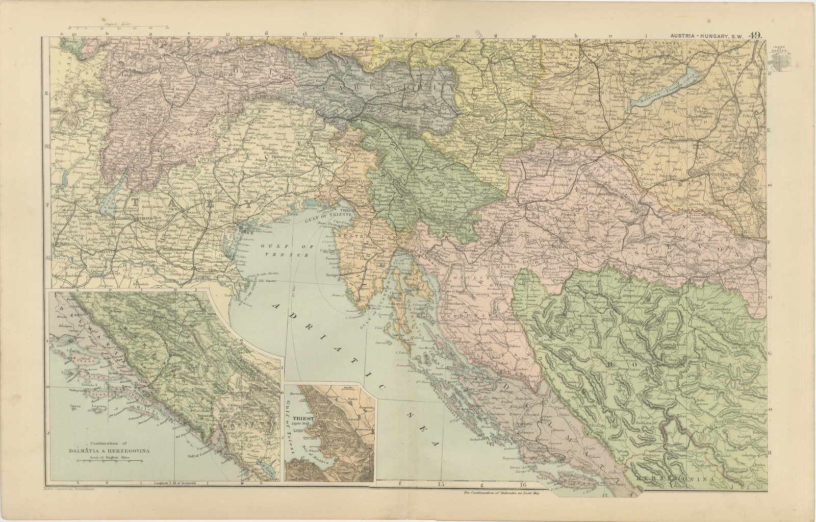
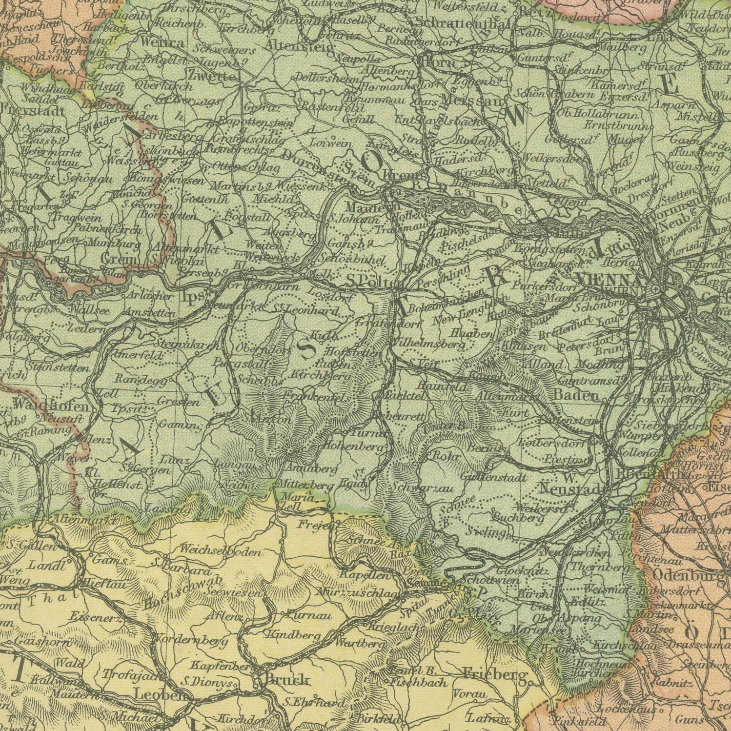
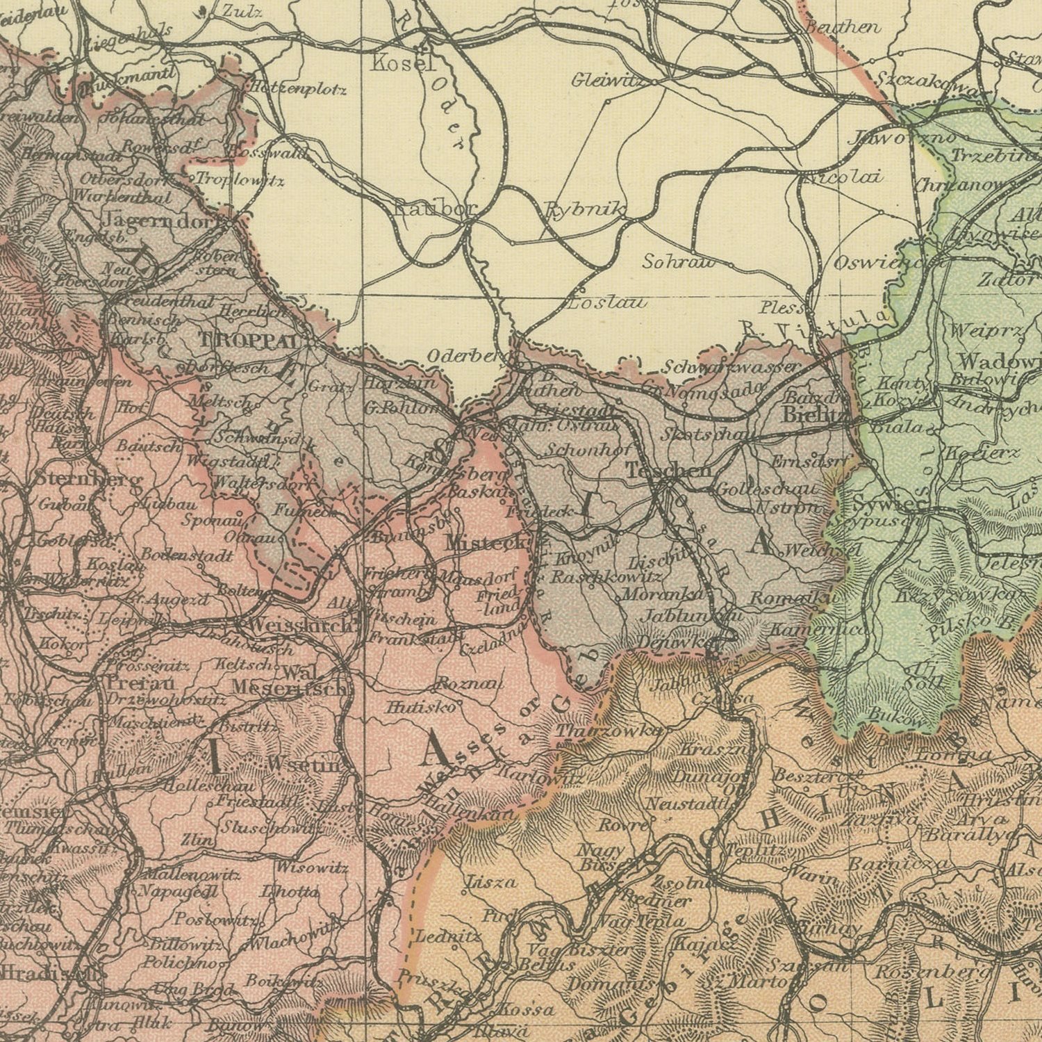
Four original antique maps that join to form the whole of the Austro-Hungarian Empire, color printed in London in 1898 for G. W. Bacon's Commercial and Library Atlas of the World. The sheets cover the Dual Monarchy quarter by quarter, from Bohemia and Vienna in the north west, through Galicia and the Hungarian plain in the north east, to the Tyrol, Trieste and Dalmatia in the south west and Transylvania and Croatia in the south east. Every crown land is separately colored, and insets give Vienna, Prague, Budapest, Trieste and Dalmatia with Herzegovina. These are four original sheets sold together as one set and are not offered separately.
The sheet comes from the Commercial and Library Atlas of the World with Index-Gazetteer, edited by George Washington Bacon, Fellow of the Royal Geographical Society, and published in London by G. W. Bacon and Company, Limited, of 127 Strand, in 1898. The atlas gathered one hundred double page maps and one hundred inset maps with an alphabetical index of fifty thousand places and a gazetteer of two thousand towns, and it was sold to merchants, shipping houses and subscription libraries that needed the world kept current rather than kept beautiful.
The empire shown here covers the ground of seven modern countries and parts of several more, and that is the reason to keep the four sheets together: an individual quarter is a fragment of a state that no longer exists, while the set is a complete political map of central Europe sixteen years before the First World War broke it up. Towns are named in the German and Hungarian forms used at the time, with local spellings beside them, which makes the set a research tool for anyone tracing a family through Bohemia, Galicia, the Banat or the Military Frontier.
Four sheets, all age toned. The paper darker along the edges of plate 49 and 50. Handling wear to the corners of plate 47. The printed images are clean.
The sheet is large enough to carry a chimney breast or a stairwell and quiet enough in color to sit with books and furniture rather than compete with them. Collectors of Victorian cartography, interior designers and anyone with a tie to the region will find a use for it. These are original antique maps, not modern reproductions. This item is sold unframed.