 The sheet, as you receive it
 In the room
Interior designers: BarTrade members buy at their trade price. How it works
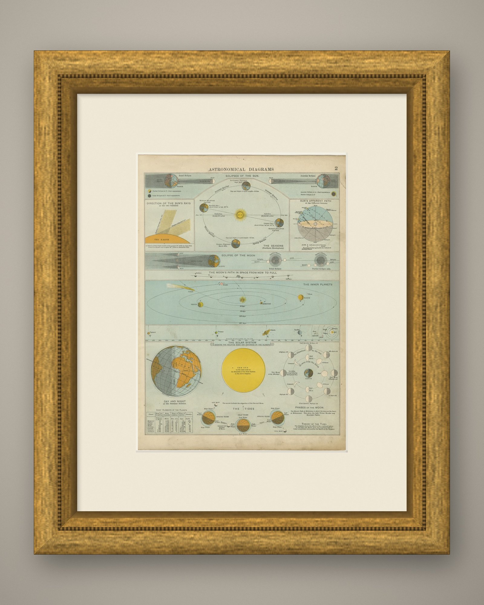
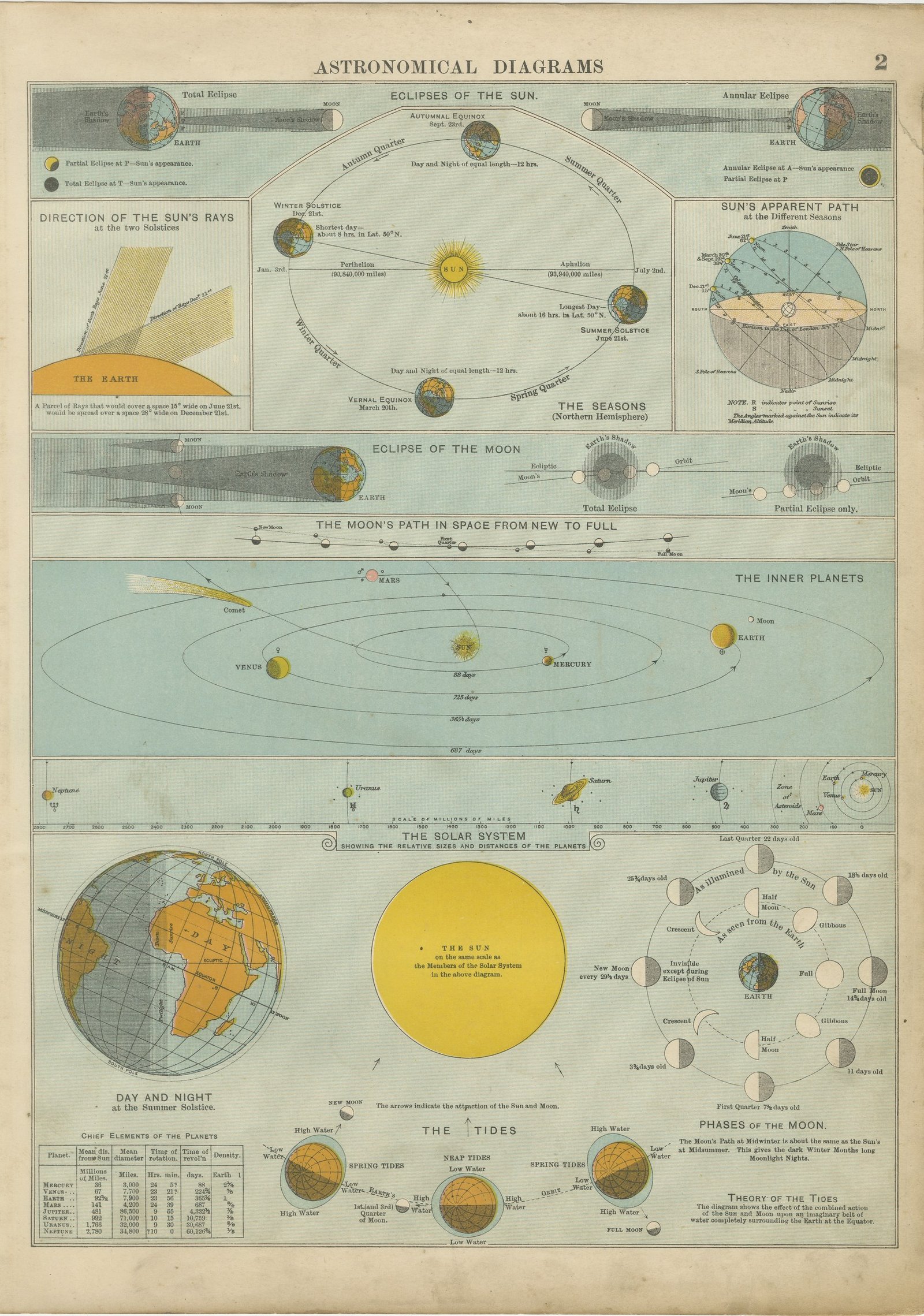
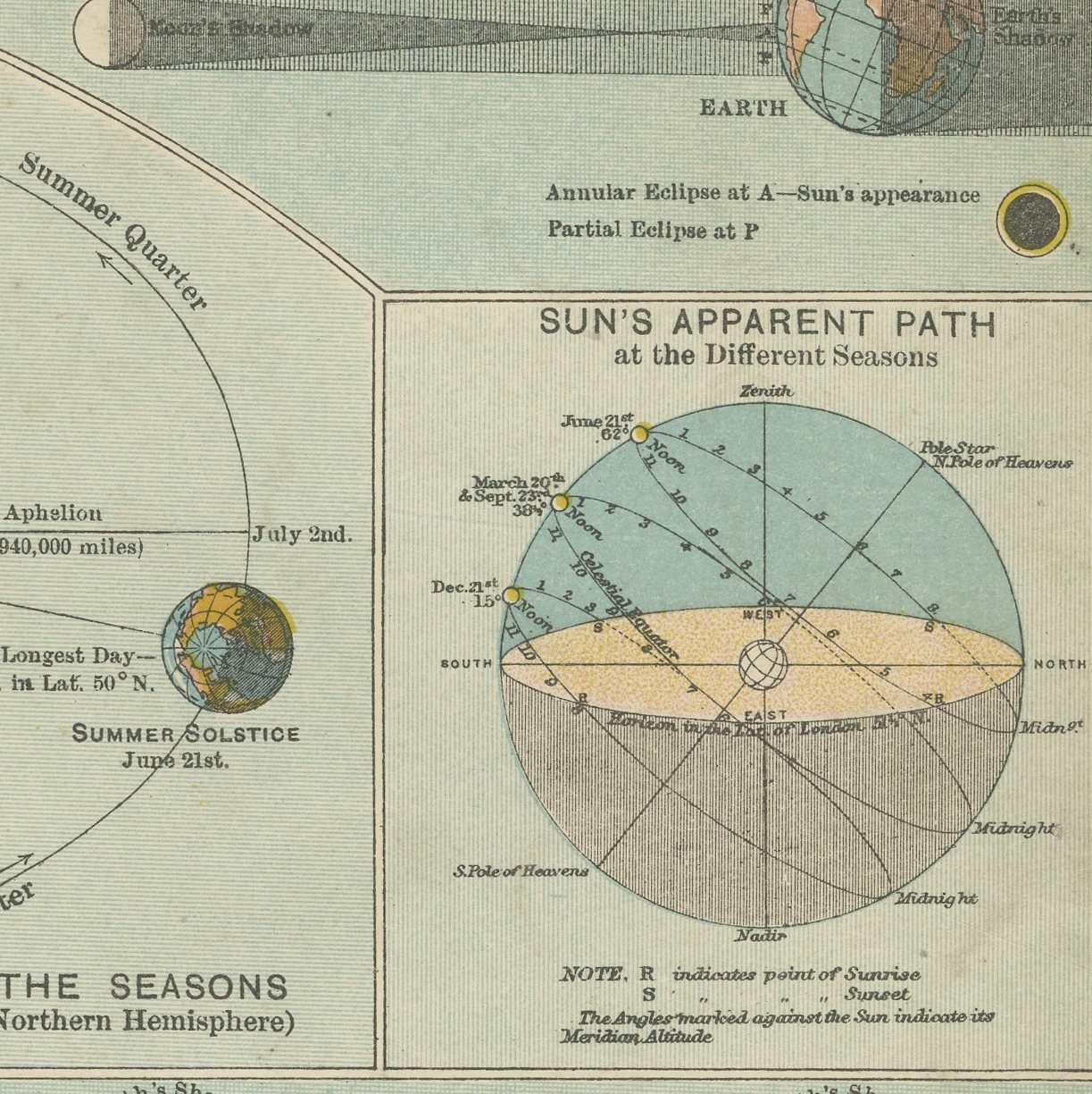
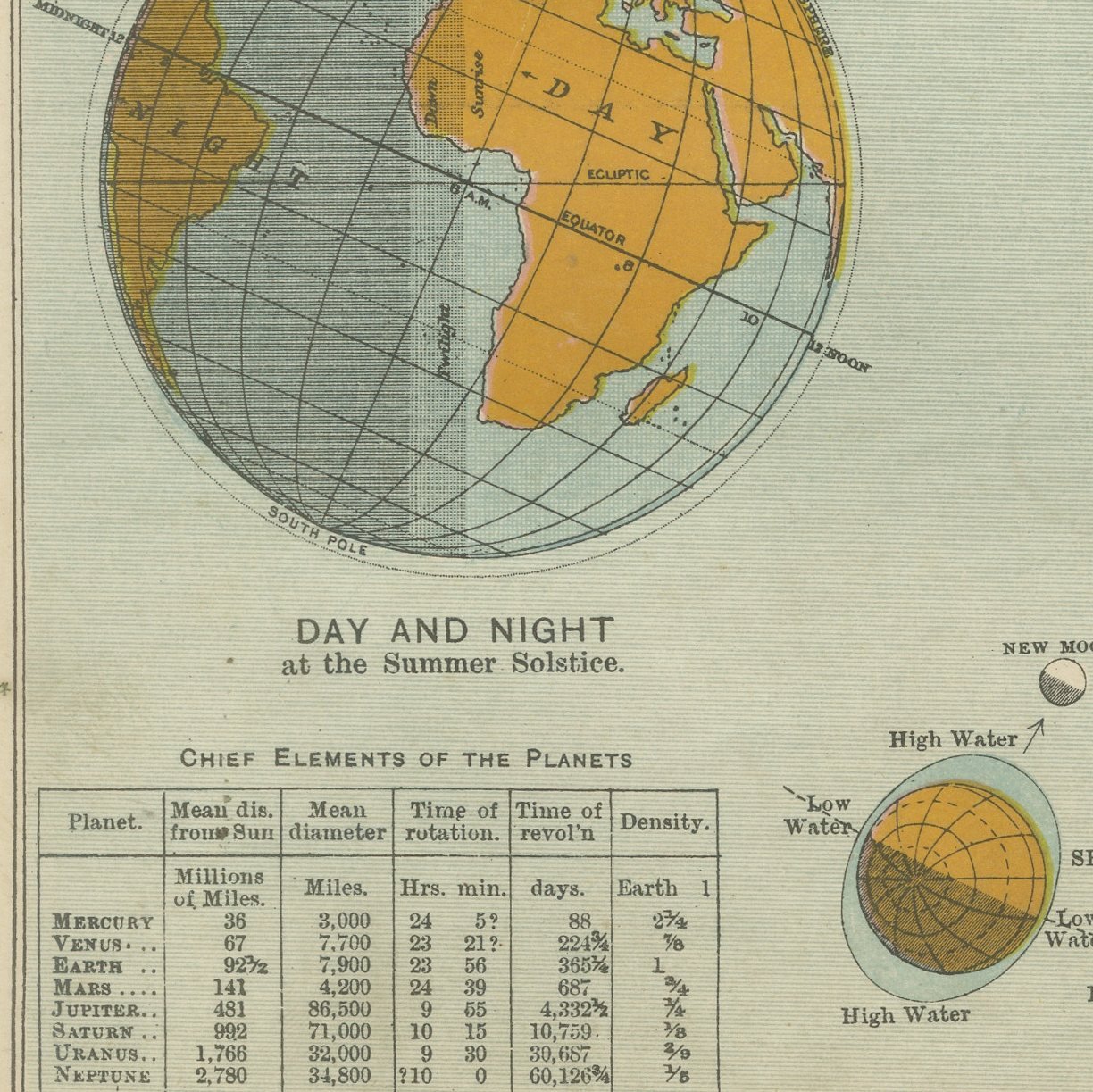
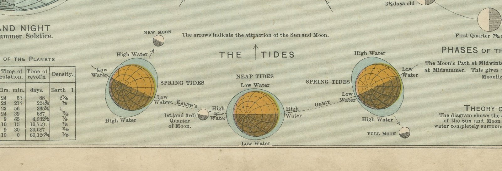
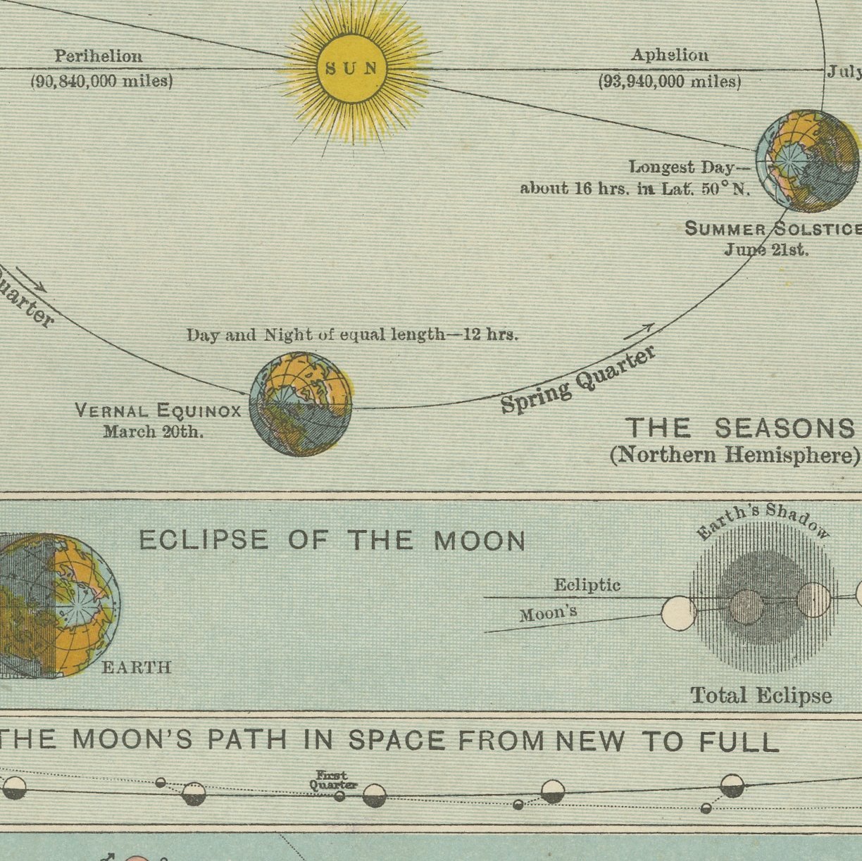
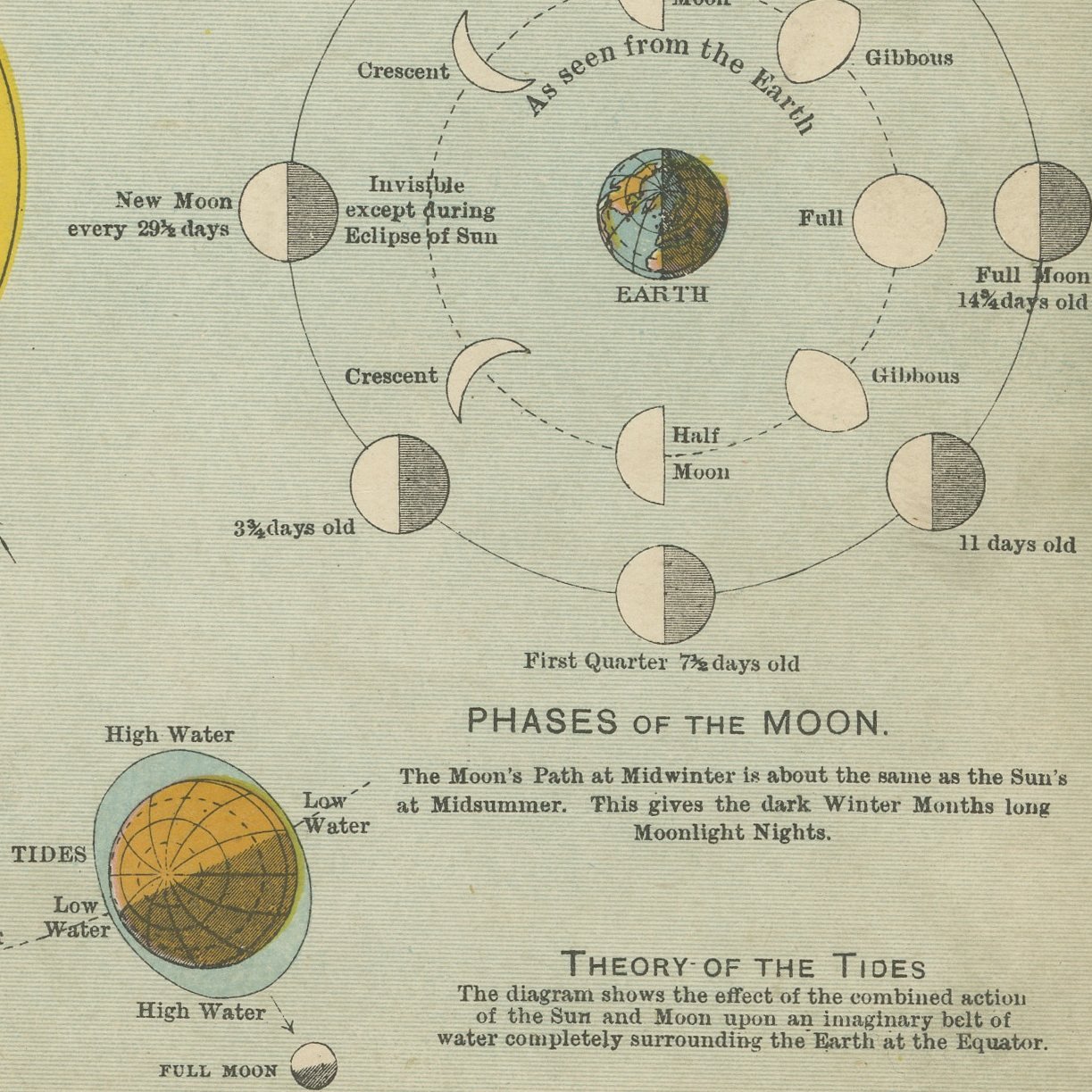
An original antique astronomical plate, color printed in London in 1898 for G. W. Bacon's Commercial and Library Atlas of the World. Thirteen separate diagrams are set out on the one sheet: eclipses of the sun, total and annular; the seasons in the northern hemisphere, with the earth at perihelion on January third and aphelion on July second; the direction of the sun's rays at the two solstices; the sun's apparent path through the year; eclipses of the moon; the moon's path in space from new to full; the inner planets with their periods; the solar system drawn to scale; day and night at the summer solstice; the tides, spring and neap; and the phases of the moon.
The sheet comes from the Commercial and Library Atlas of the World with Index-Gazetteer, edited by George Washington Bacon, Fellow of the Royal Geographical Society, and published in London by G. W. Bacon and Company, Limited, of 127 Strand, in 1898. The atlas gathered one hundred double page maps and one hundred inset maps with an alphabetical index of fifty thousand places and a gazetteer of two thousand towns, and it was sold to merchants, shipping houses and subscription libraries that needed the world kept current rather than kept beautiful.
A table in the lower corner, headed Chief Elements of the Planets, gives the mean distance from the sun, mean diameter, time of rotation, time of revolution and density of every planet from Mercury to Neptune, so the sheet records exactly what a well informed reader was expected to know about the solar system at the end of the nineteenth century. Plates of this kind were printed to be read rather than admired, which is why so few survive clean, and they are now collected as much for the history of scientific illustration as for astronomy.
Even age toning, the paper a warm cream, with the paper darker along the bottom edge and a few handling marks in the margins. The printed image itself is clean.
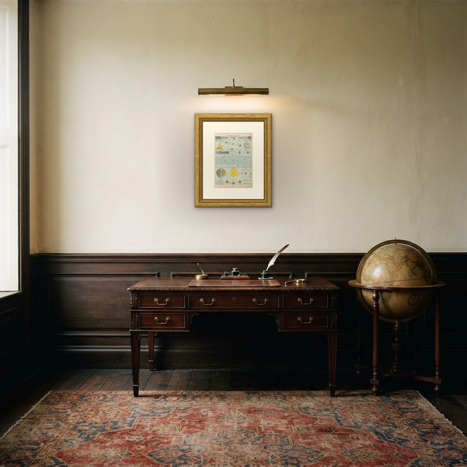
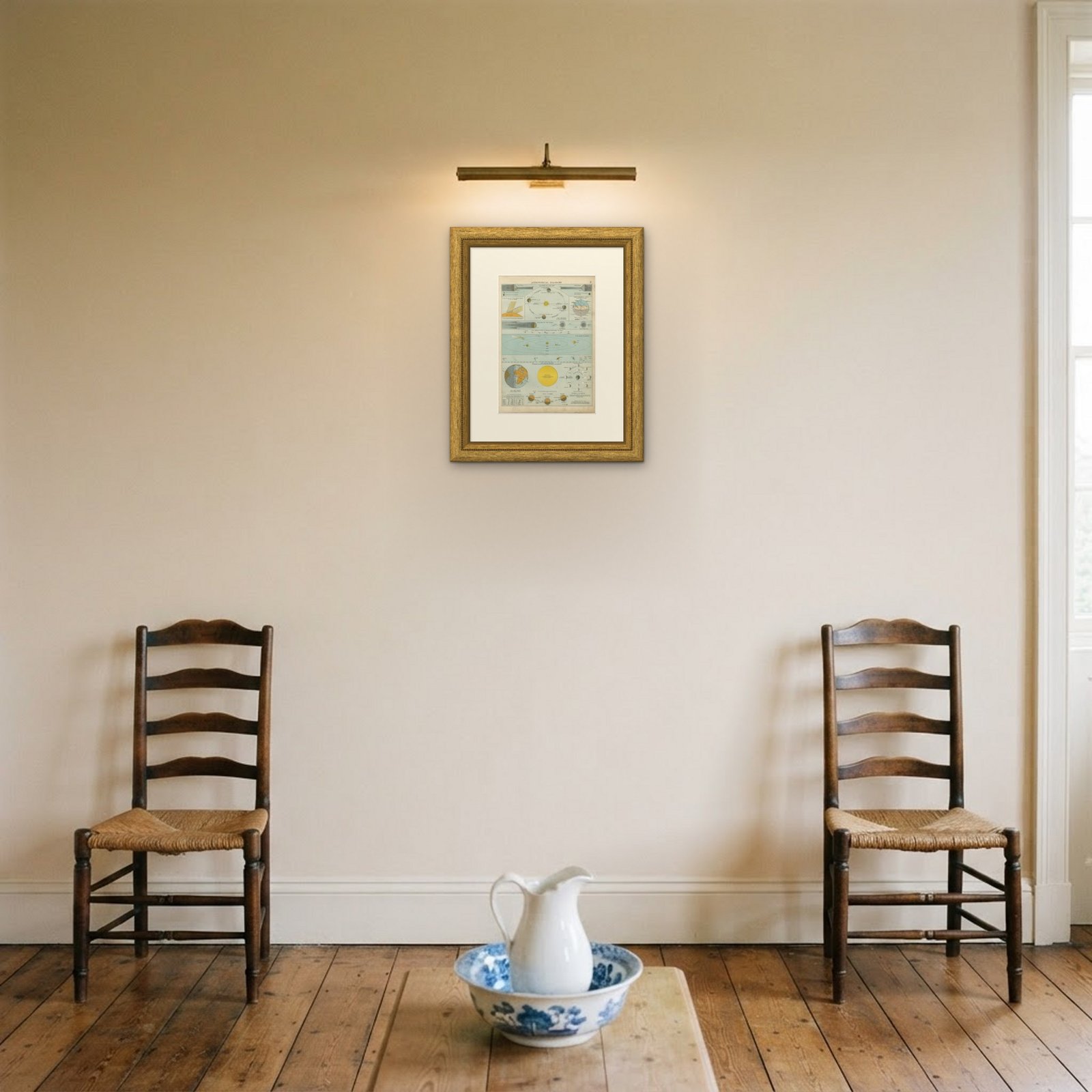
Framed simply, a sheet of this size holds a wall on its own, and the clear color printing reads well across a room. It suits a study, a library, an office or a hallway, and it is an easy gift for anyone with a connection to the place it shows. This is an original antique plate, not a modern reproduction. This item is sold unframed.