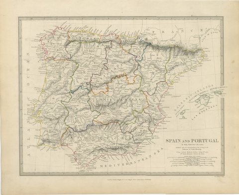
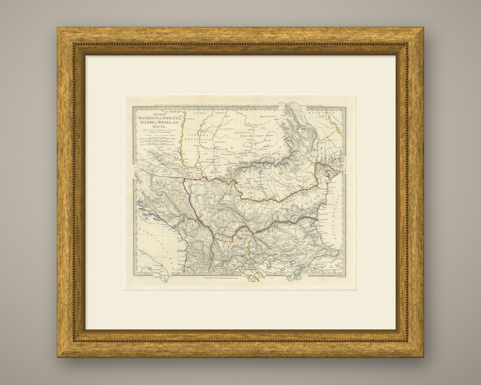
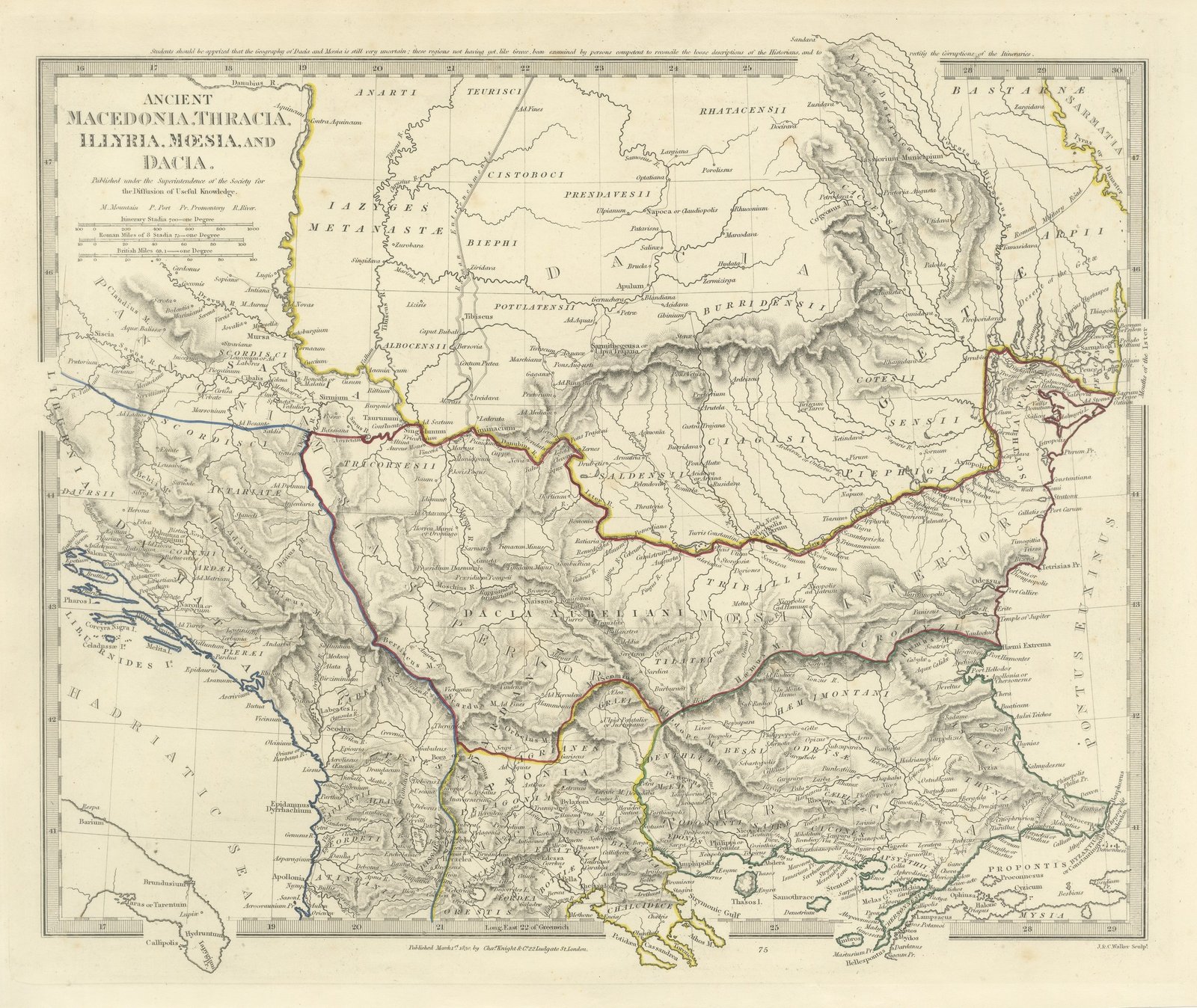
 The sheet, as you receive it
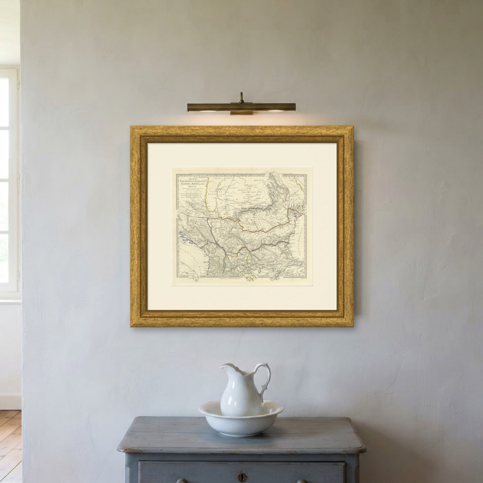
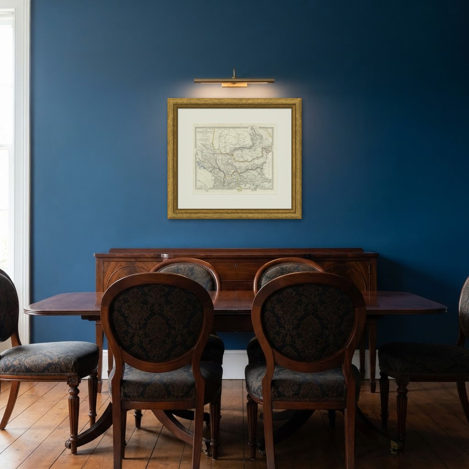 In the room
Interior designers: BarTrade members buy at their trade price. How it works
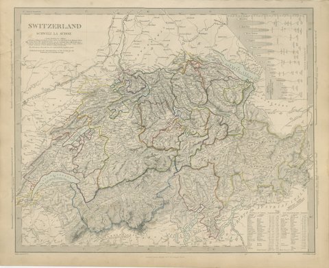
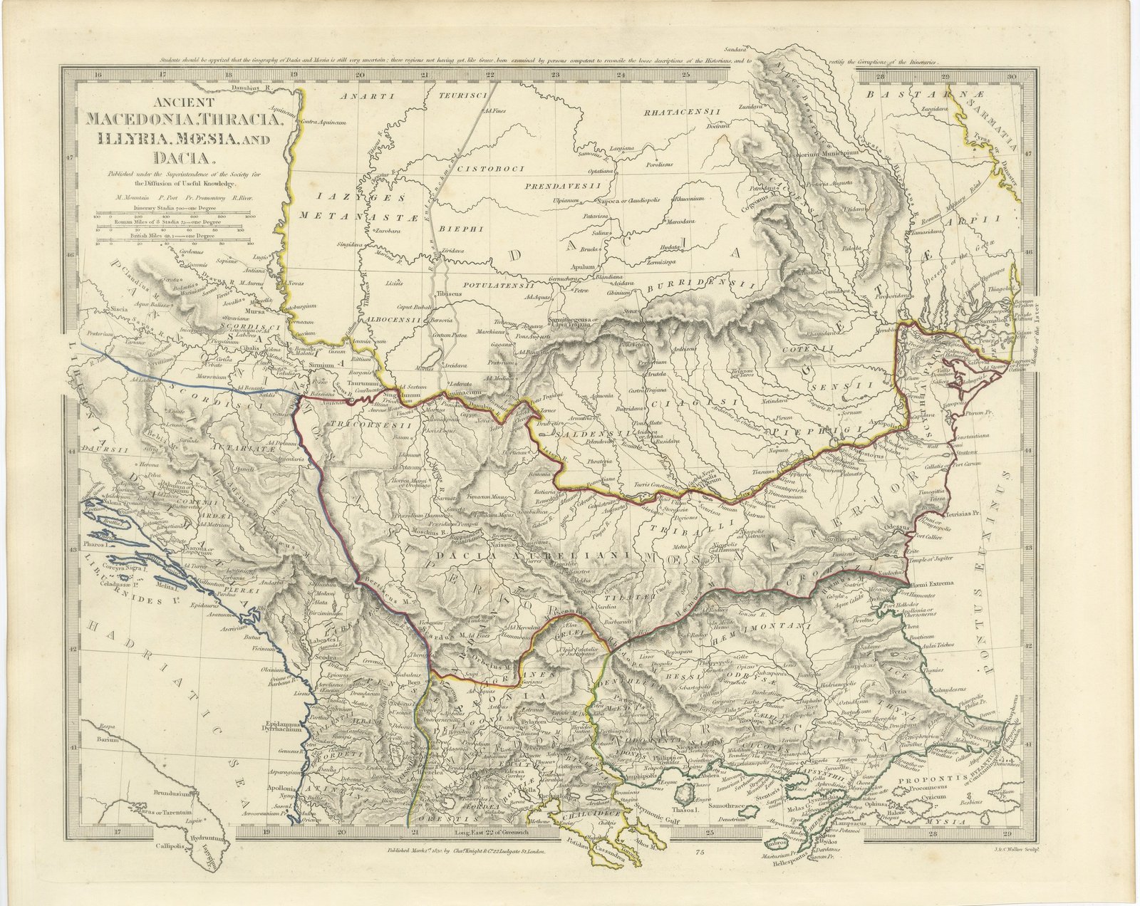
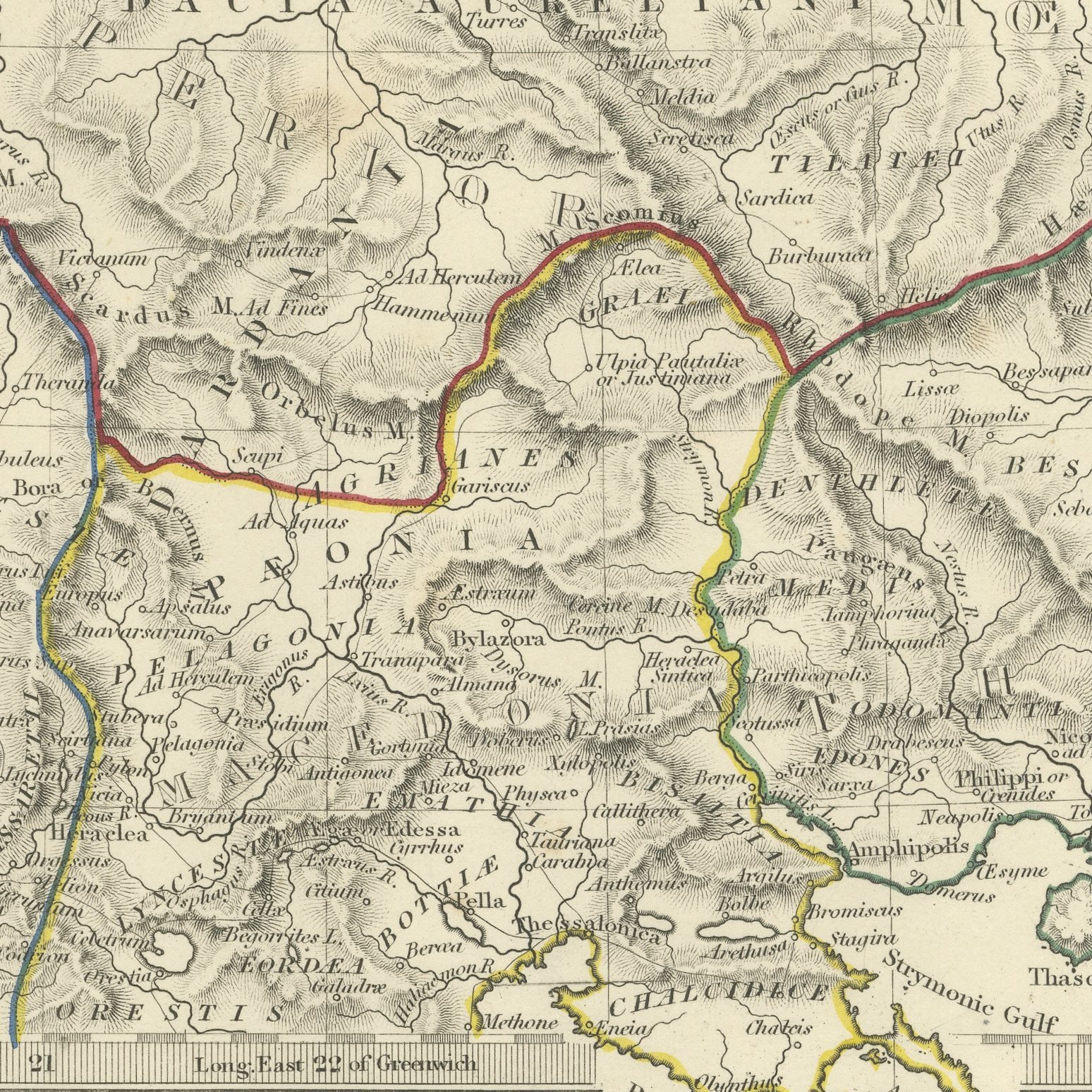
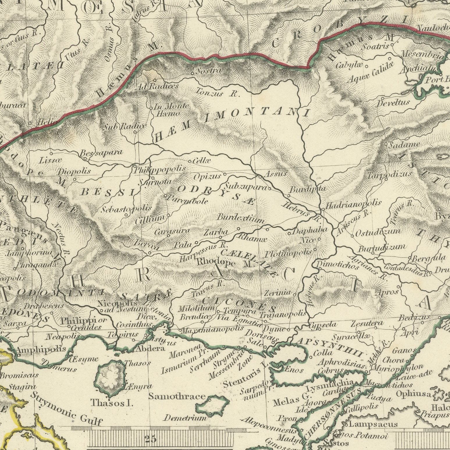
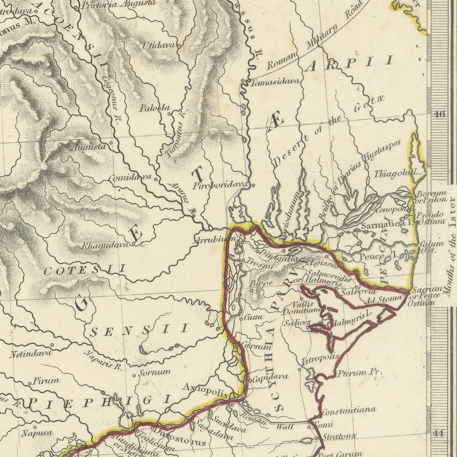
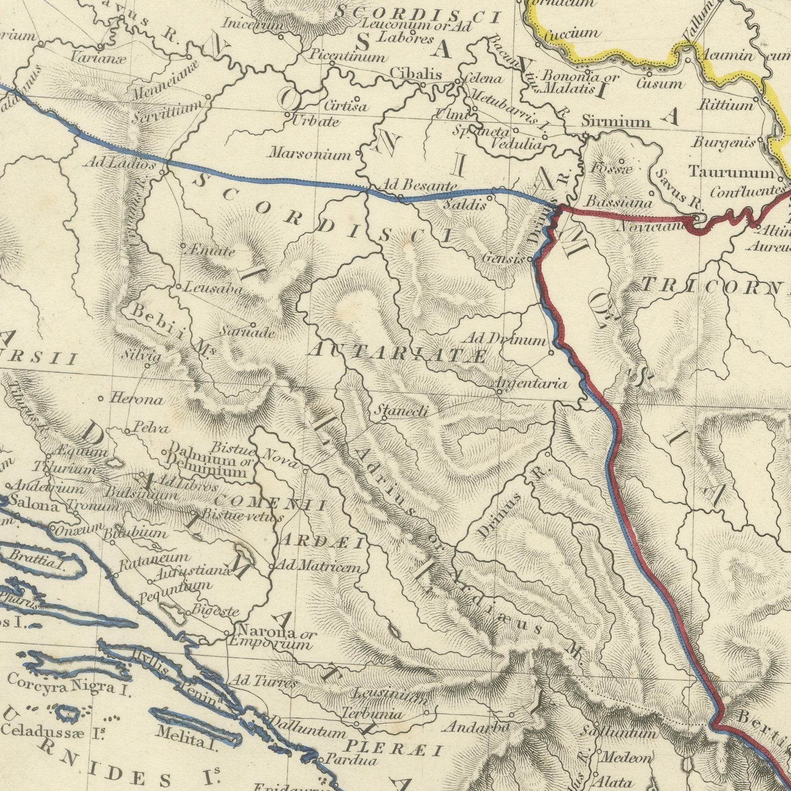
This antique classical map, first published in March 1830, covers the whole of the ancient Balkans from the Adriatic to the Black Sea, naming Macedonia, Thracia, Illyria, Moesia and Dacia and the dozens of tribes that occupied them. Dacia fills the upper half of the sheet within the arc of the Carpathians, with the Iazyges Metanastae on the Hungarian plain and the Bastarnae and Costoboci beyond; Moesia and Dacia Aureliani lie along the Danube; Illyricum, Dalmatia and Pannonia run down the Adriatic coast; and Macedonia and Thessalia close the sheet at the foot with Thracia, the Propontis and Mysia at the right. Hand applied color in yellow, orange, red, purple and green separates the regions. A frank engraved note across the top warns students that the geography of Dacia and Moesia is still very uncertain, the positions not having been examined by persons competent to reconcile the loose descriptions of the historians and to identify the monuments.
The plate comes from Maps of the Society for the Diffusion of Useful Knowledge, in the new edition corrected to the present time that Charles Knight and Company published at 22 Ludgate Street, London, in 1845, whose first volume covers Europe. The Society was founded in 1826 by Henry Brougham and his circle to publish useful knowledge at a low price. Its maps were issued in parts from 1829, first by Baldwin and Cradock, from 1842 by Chapman and Hall and then by Charles Knight, and the series grew to about two hundred maps. Most of them were engraved on steel by John and Charles Walker, and the outline color was applied by hand.
The plate is signed by J. and C. Walker as engravers. The imprint at the foot names Charles Knight and Company of 22 Ludgate Street, London and is dated 1 March 1830.
Light overall age toning, with the paper darker along the right and top edges, scattered foxing in the margins, stains in the margins and handling wear to the top right and bottom left corners.
This is an original antique map, not a modern reproduction. This item is sold unframed.