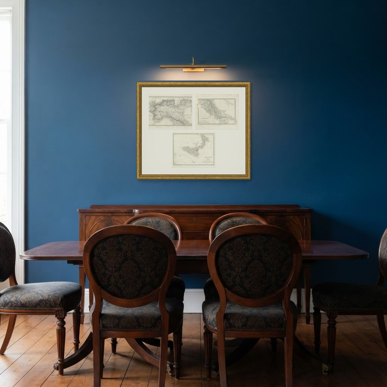
 In the room
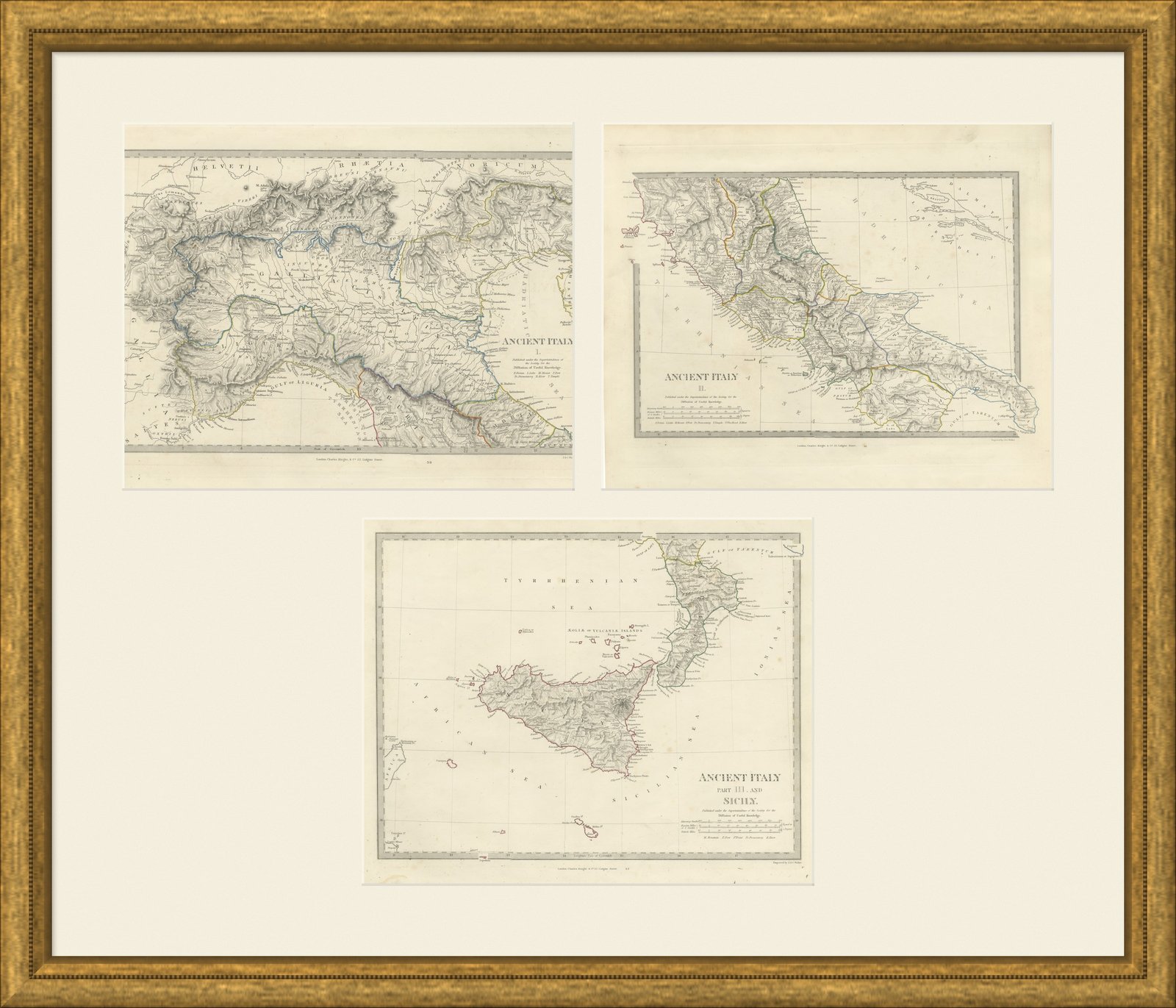
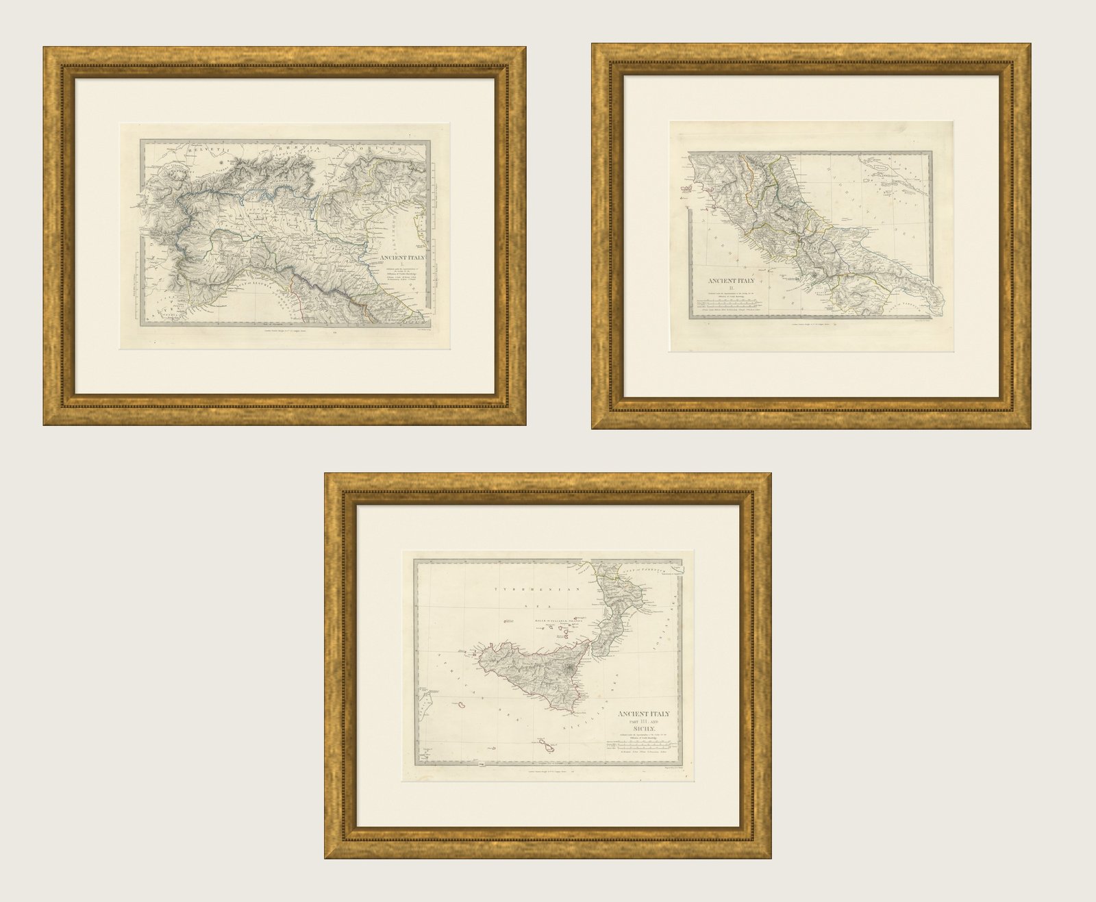
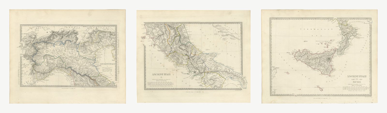
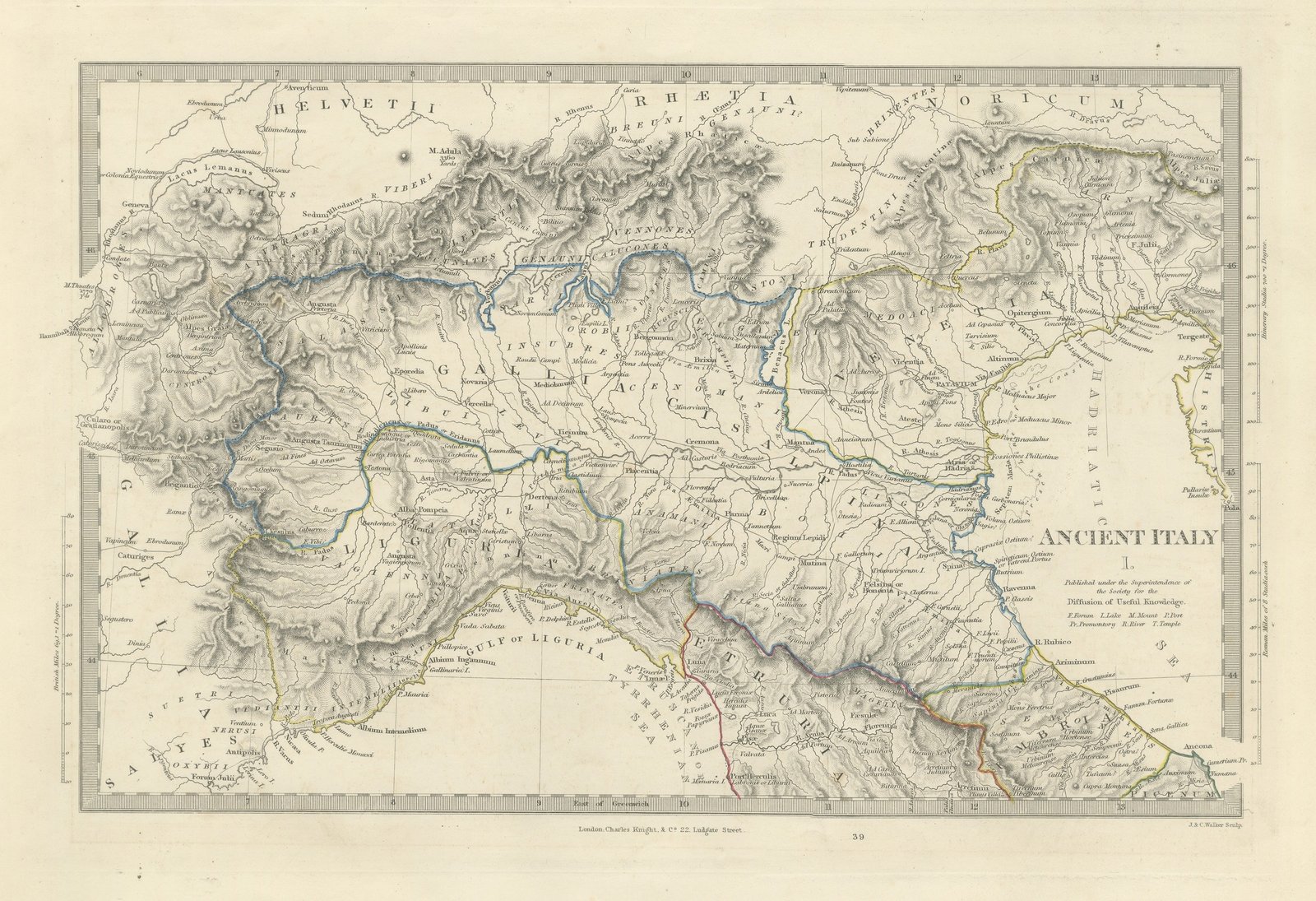
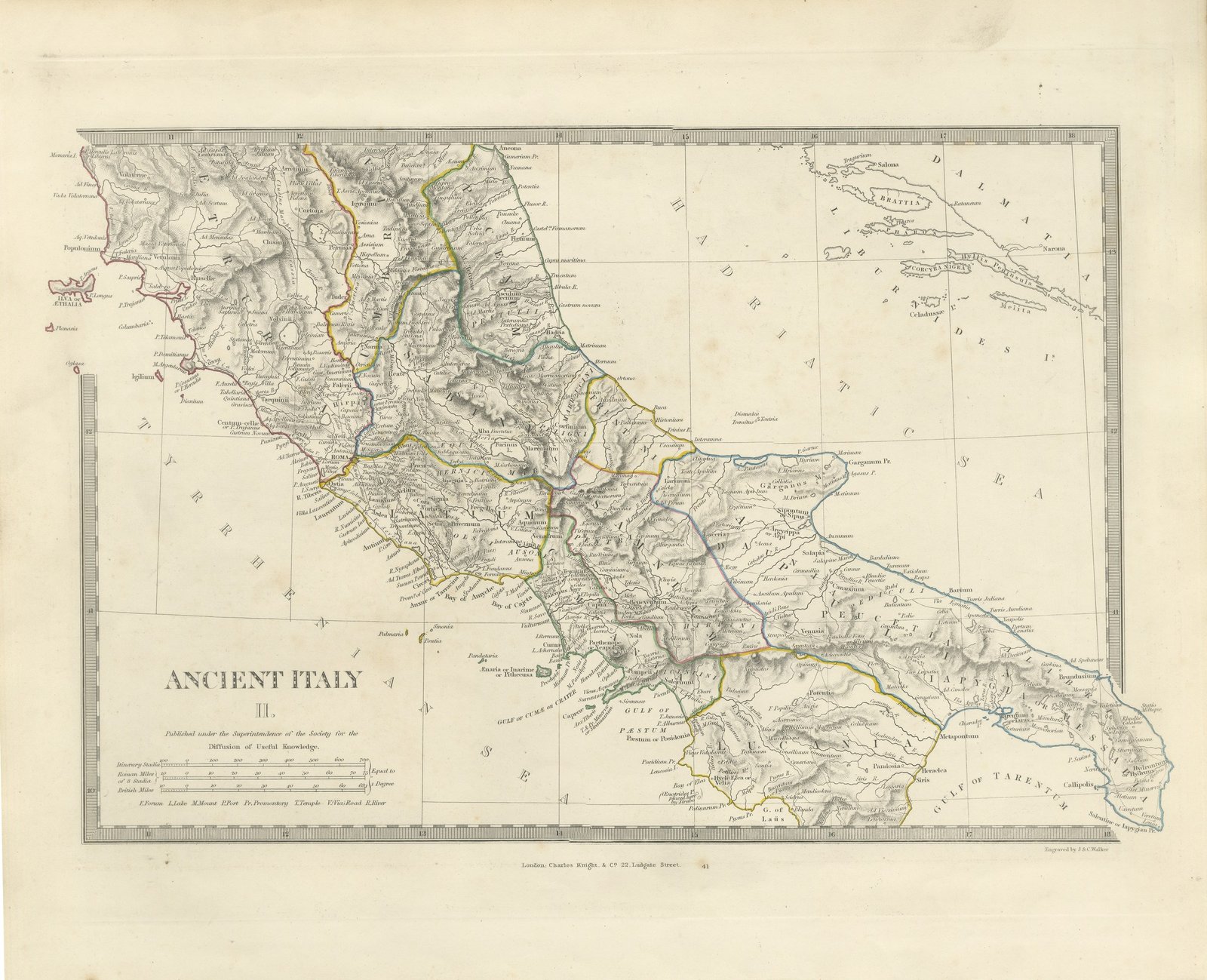
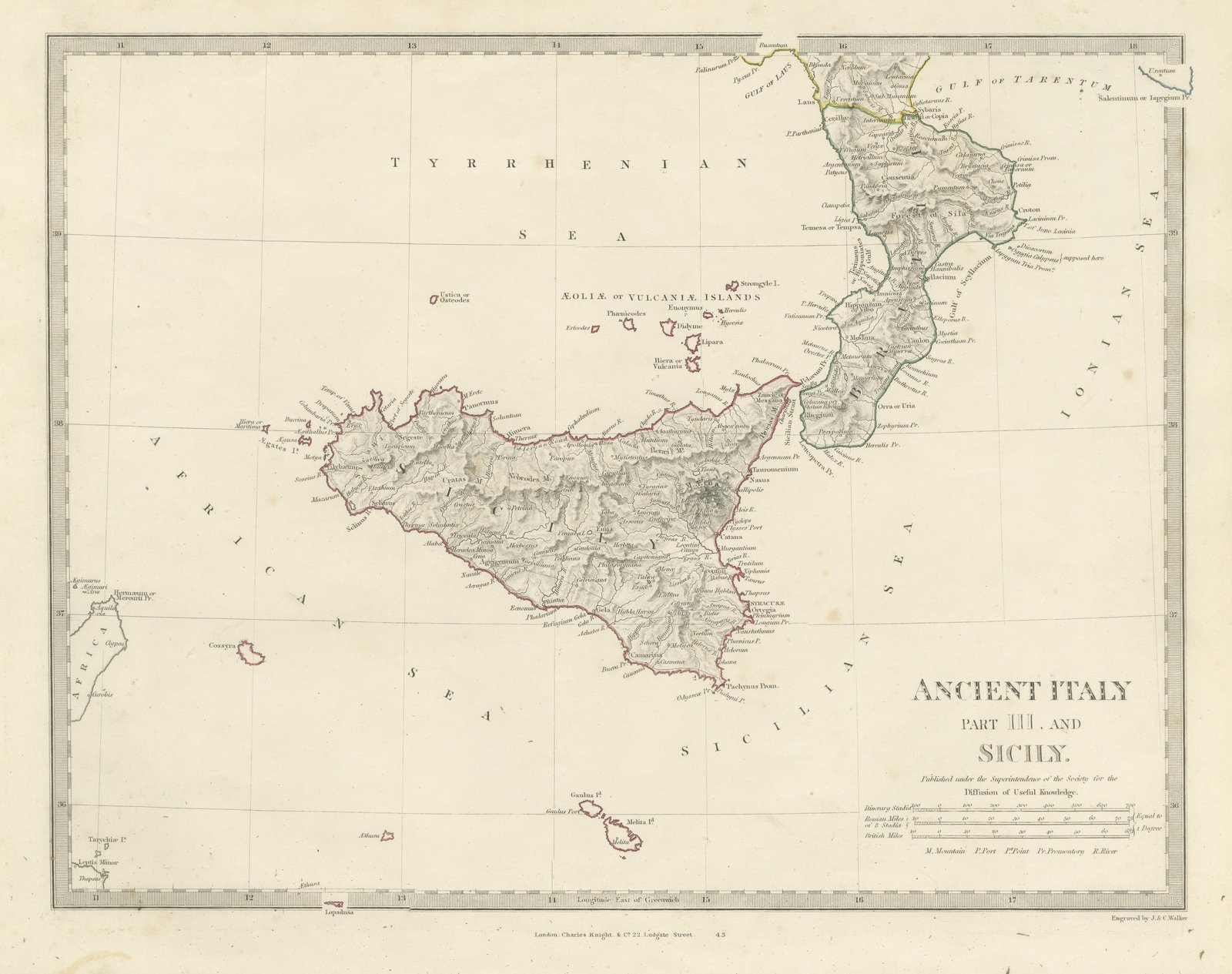
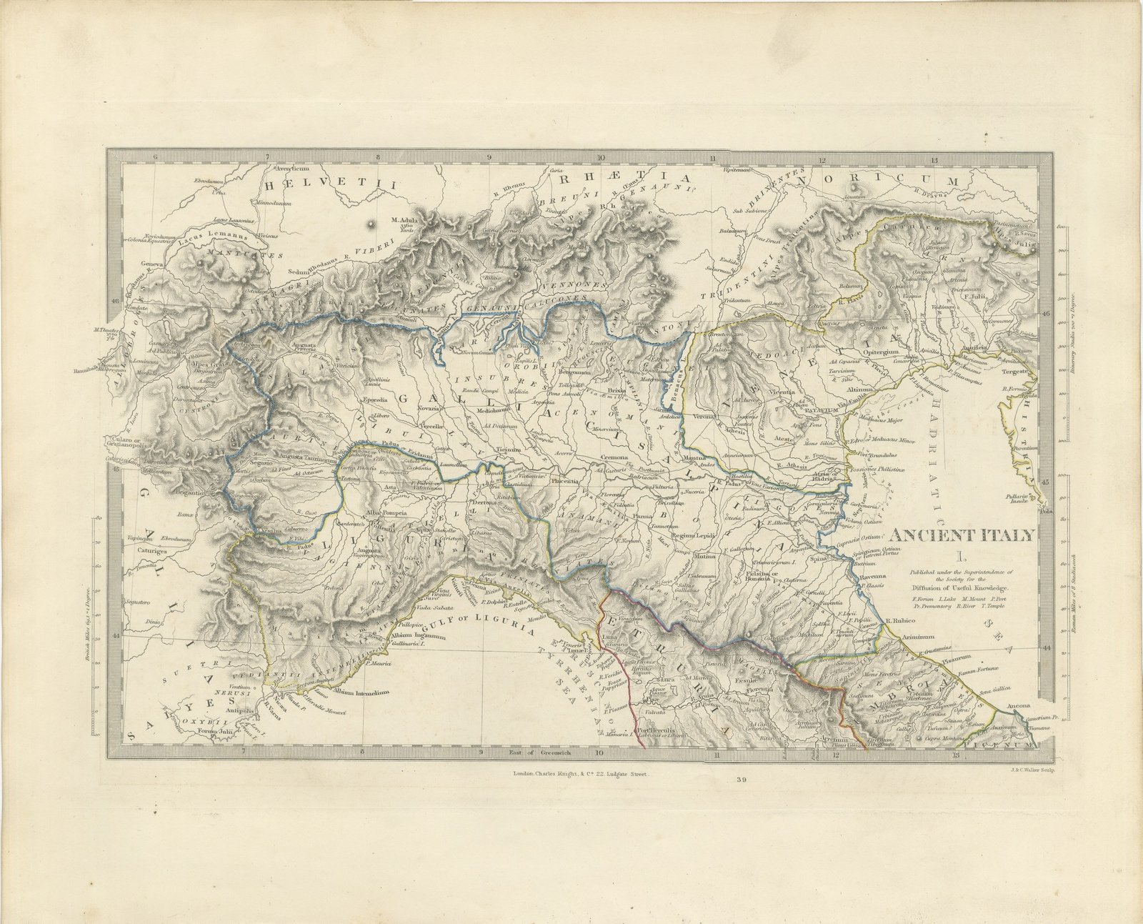
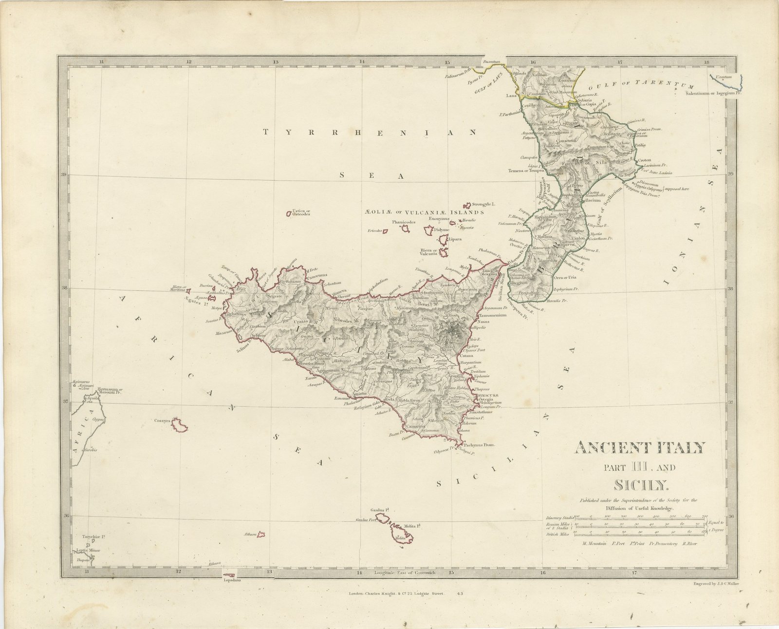
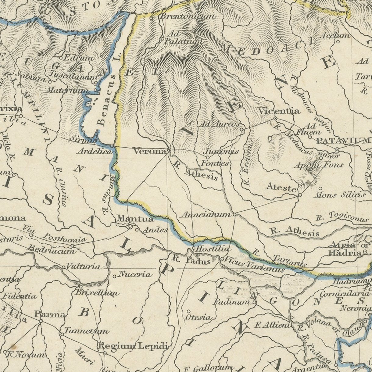
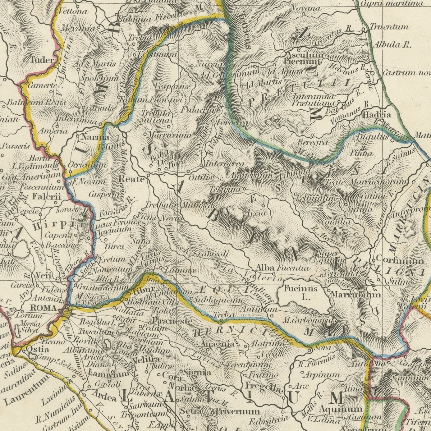
Ancient Italy, Antique Classical Map on Three Sheets with Sicily, 1845
Interior designers: BarTrade members buy at their trade price. How it works
- Sheet
- 44 cm × 35 cm (width × height)
- Framed as shown
- 65 cm × 57 cm
- Shown on
- Duck egg wall
- Size
- Medium, 50 to 80 cm (20 to 31 in) framed
- Date
- 1845
- Technique
- Steel Engraving
- Color
- Original hand color
- Condition
- Good
- Stock no.
- BG-14487-2-32
This is an original antique map of ancient Italy on the three sheets on which the Society for the Diffusion of Useful Knowledge printed it in 1845, offered together as one set. The first sheet covers the north, with Gallia Cisalpina across the Po valley, the Insubres, Cenomani and Boii named in open capitals, Liguria along its gulf, Venetia and the Carni in the north east and Rhaetia, Noricum and the Helvetii beyond the Alps. The second carries the center and the south, with Rome in Latium, Campania along the Gulf of Cumae with Neapolis, Pompeii, Herculaneum and Capua, the Sabine and Samnite hills, Picenum on the Adriatic and Apulia and Lucania down to the Gulf of Tarentum. The third is given to Sicily and the toe of the peninsula, with Syracusae, Agrigentum, Panormus and Messana on the island, Mount Aetna in heavy hachure, Rhegium, Locri and Croton in Bruttium, the Aeoliae or Vulcaniae Islands in the Tyrrhenian Sea and Melita and Gaulus at the foot. Every town carries its classical name, and each sheet gives Roman miles, Greek stadia and British miles on a single scale bar.
The sheets come from Maps of the Society for the Diffusion of Useful Knowledge, in the new edition corrected to the present time that Charles Knight and Company published at 22 Ludgate Street, London, in 1845, whose first volume covers Europe. The Society was founded in 1826 by Henry Brougham and his circle to publish useful knowledge at a low price. Its maps were issued in parts from 1829, first by Baldwin and Cradock, from 1842 by Chapman and Hall and then by Charles Knight, and the series grew to about two hundred maps. Most of them were engraved on steel by John and Charles Walker, and the outline color was applied by hand.
The sheets of this set belong to one map and are sold together.
Three sheets, all age toned. Foxing in the margins of all of them. Handling wear to the corners of plate 34 and 36.
The set is three original sheets sold together, never split. These are original antique maps, not modern reproductions. This item is sold unframed.